Geologic Pictures from Iceland
by Peter Bird, August 2003
Basalts and active spreading
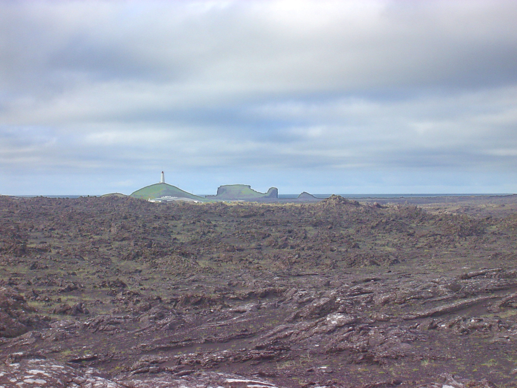
Reykjanes (the Mid-Atlantic Ridge comes on land)
center of Reykjanes; historic flow
folded glassy skin of historic flow
hornito vent on top of historic flow
pillow lava in tilted fault block
micro-graben at tip of Reykjanes
topographic model: view NE over Reykjanes toward Þingvellir
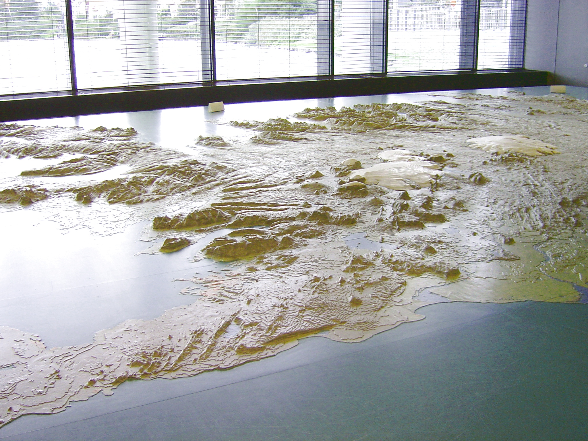
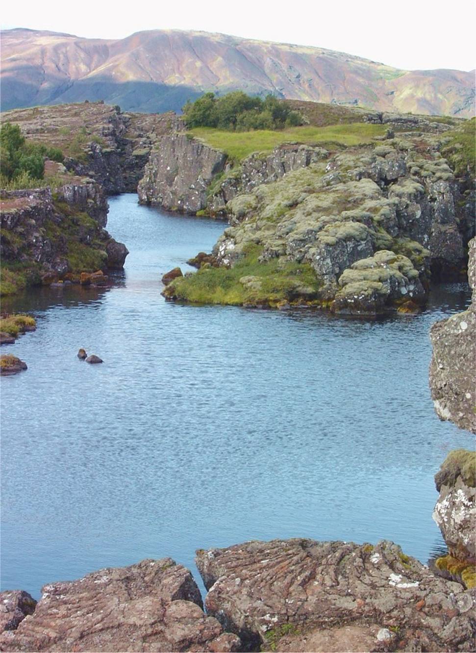
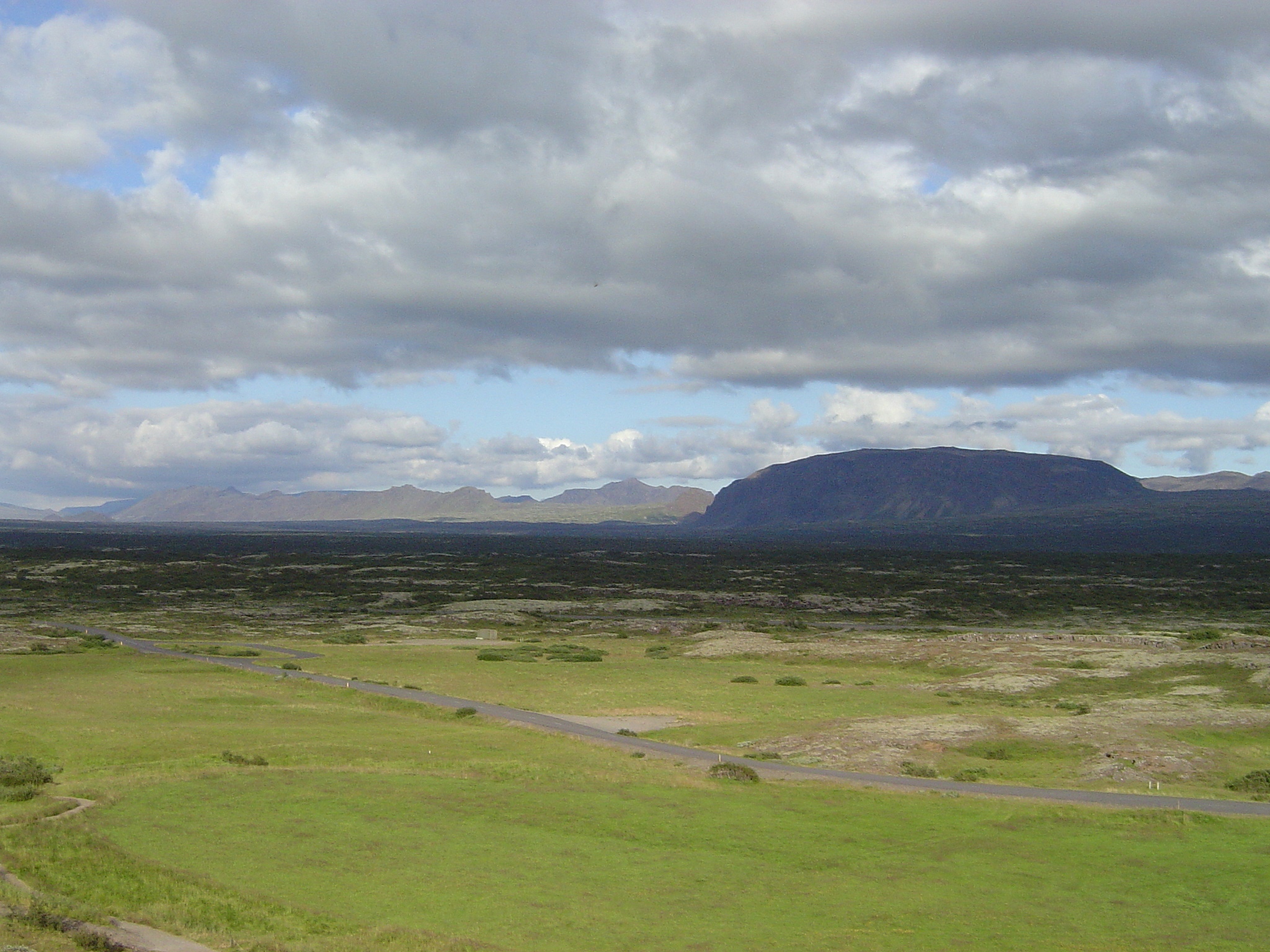
The failing West rift: Þingvellir
topographic model, showing parallel cracks
floor of Þingvellir graben, looking NE
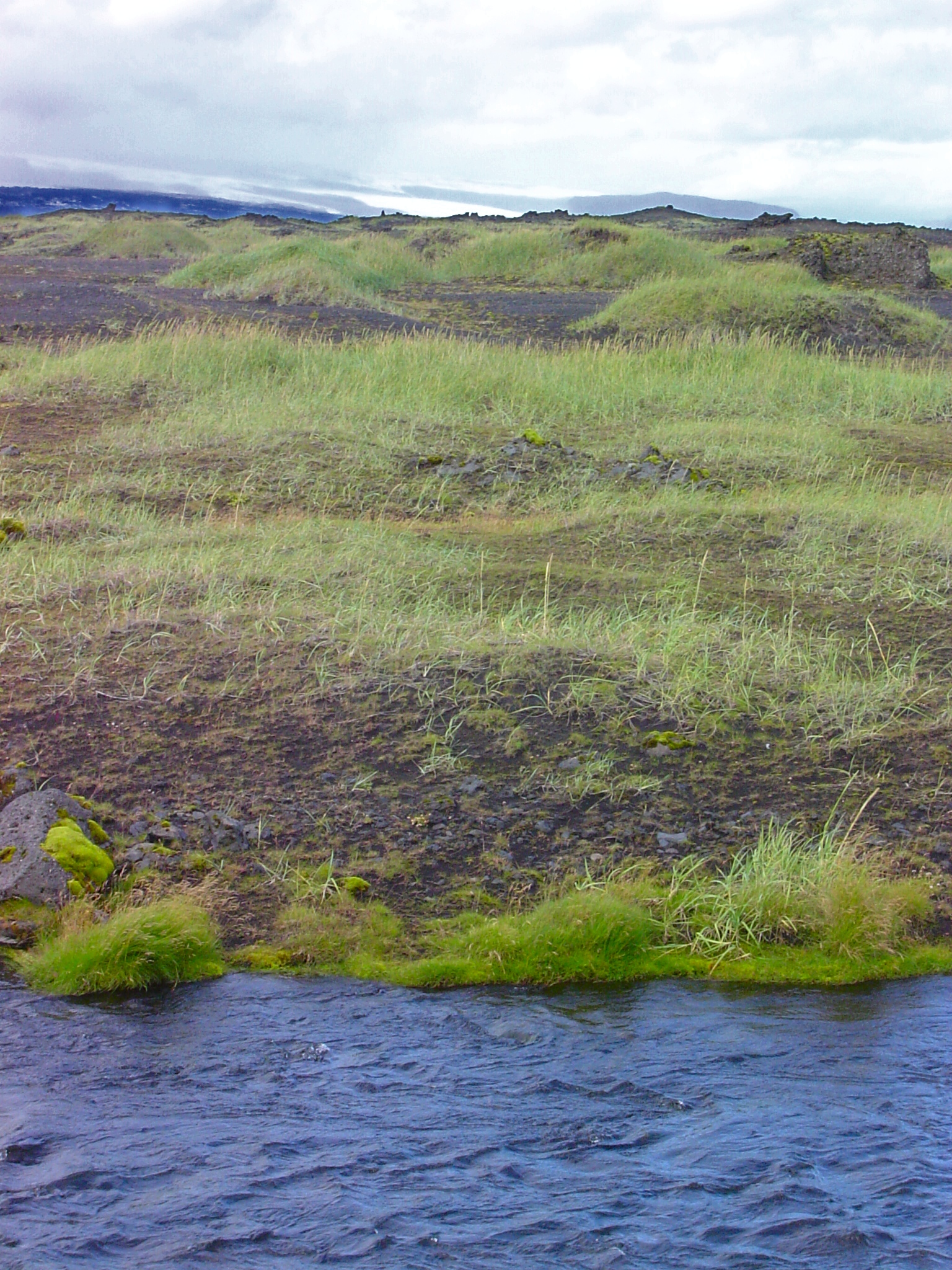
river Öxará trapped in a fault fissure
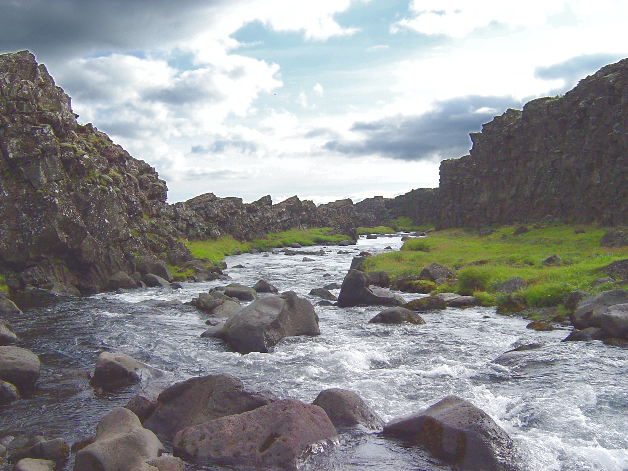
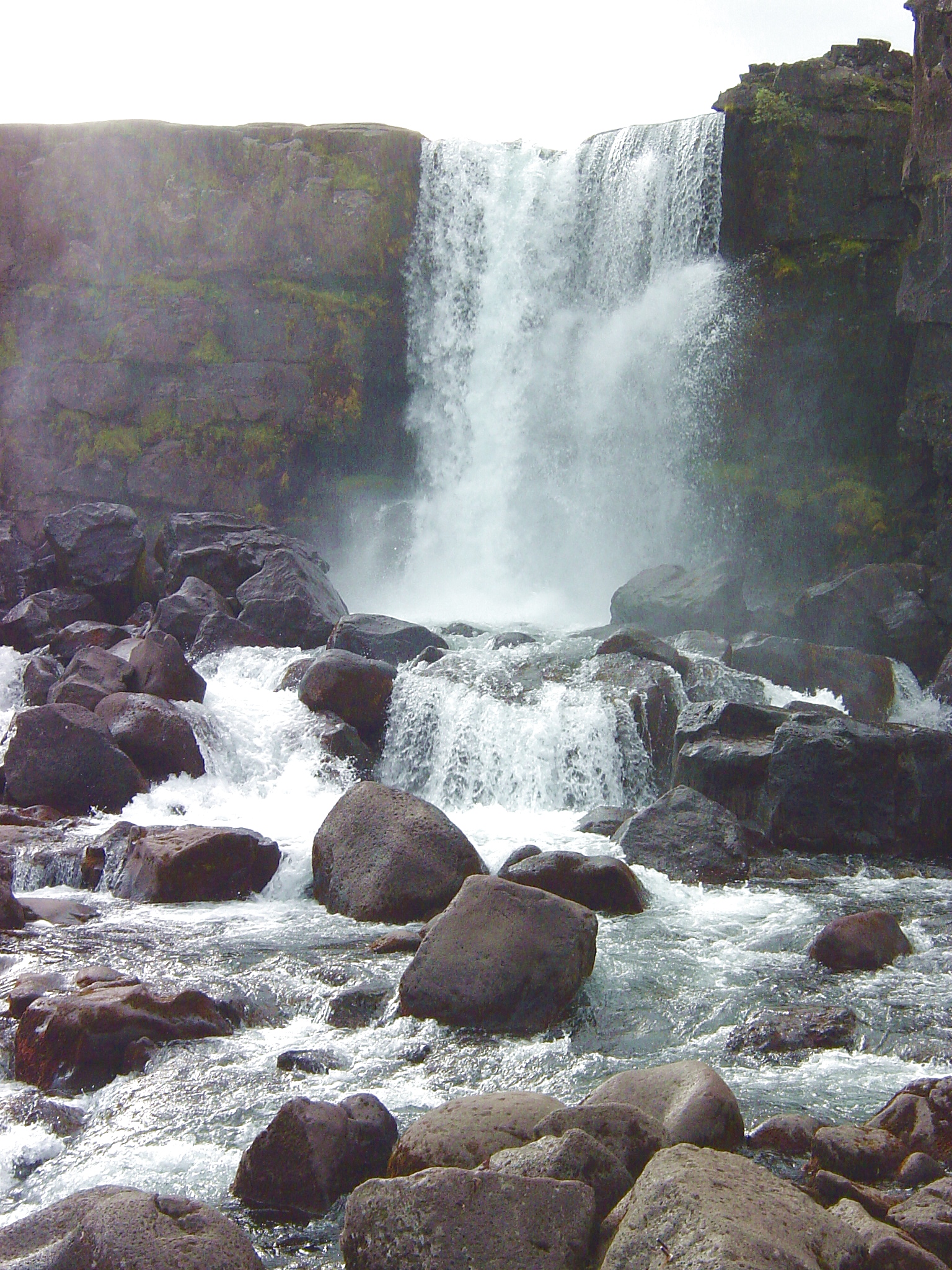
waterfall Öxaráfoss over a fault scarp
The active East rift
topographic model, looking NE from Mýrdalsjökull
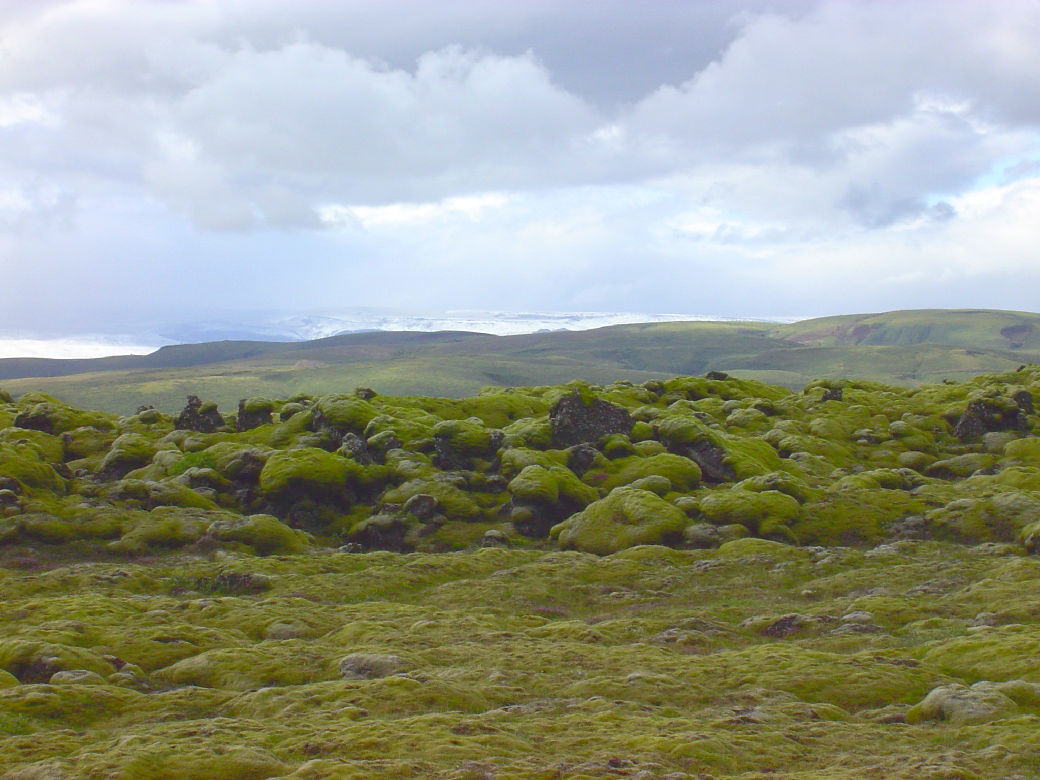
1783-1784 AD Eldhraun flow from Laki fissure, East rift
typical surface in Eldhraun (covered with moss, due to daily rain on the south coast)
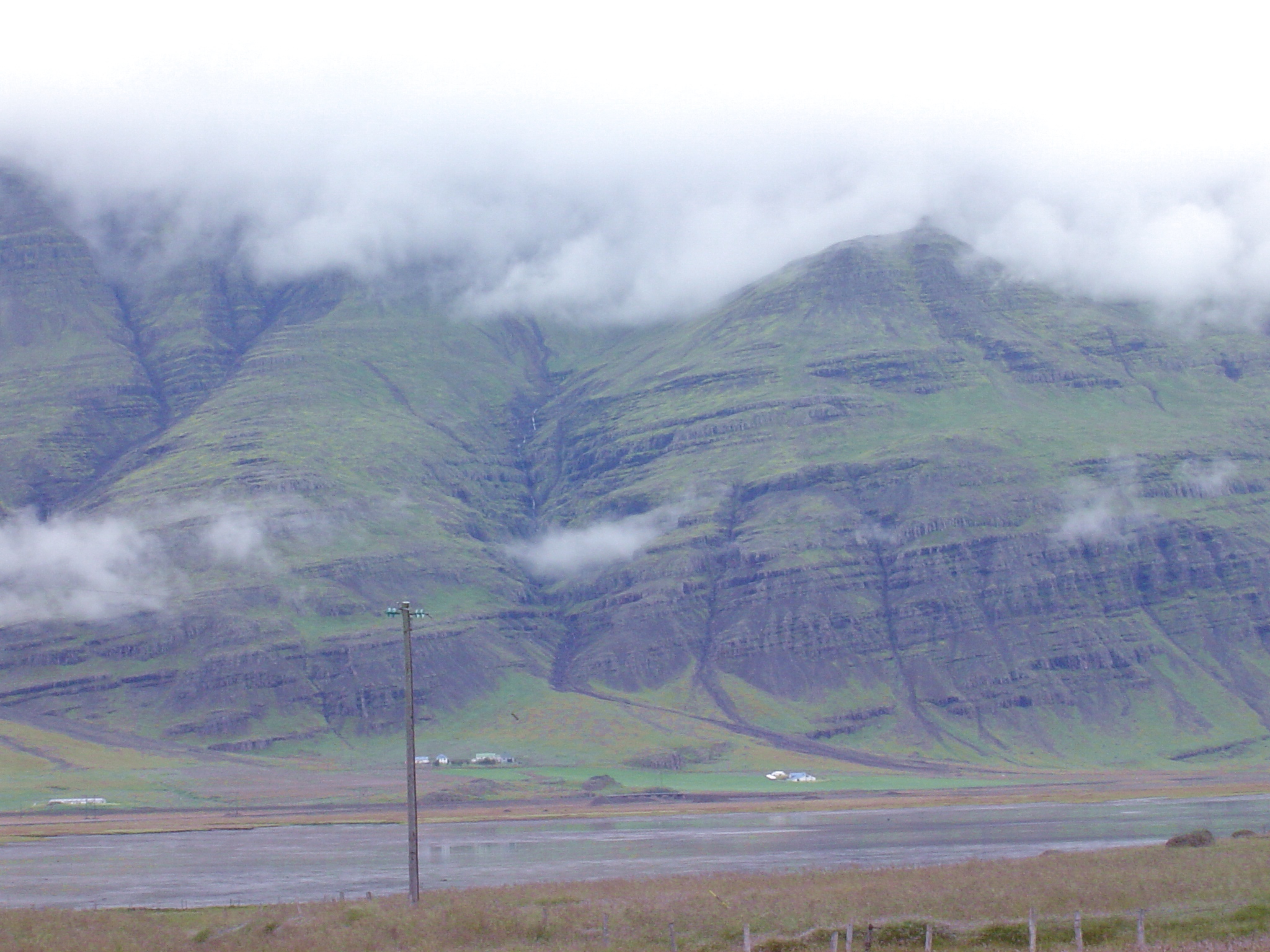
Neogene layered basalt flows in southeastern Iceland (reflecting smoother pre-Pleistocene topography)
layered lava flows north of Jökulsárlón
layered lava flows in Suðursveit
layered lava flows in Kálfafellsfjöll
layered lava flows at Áltafjörður, looking N
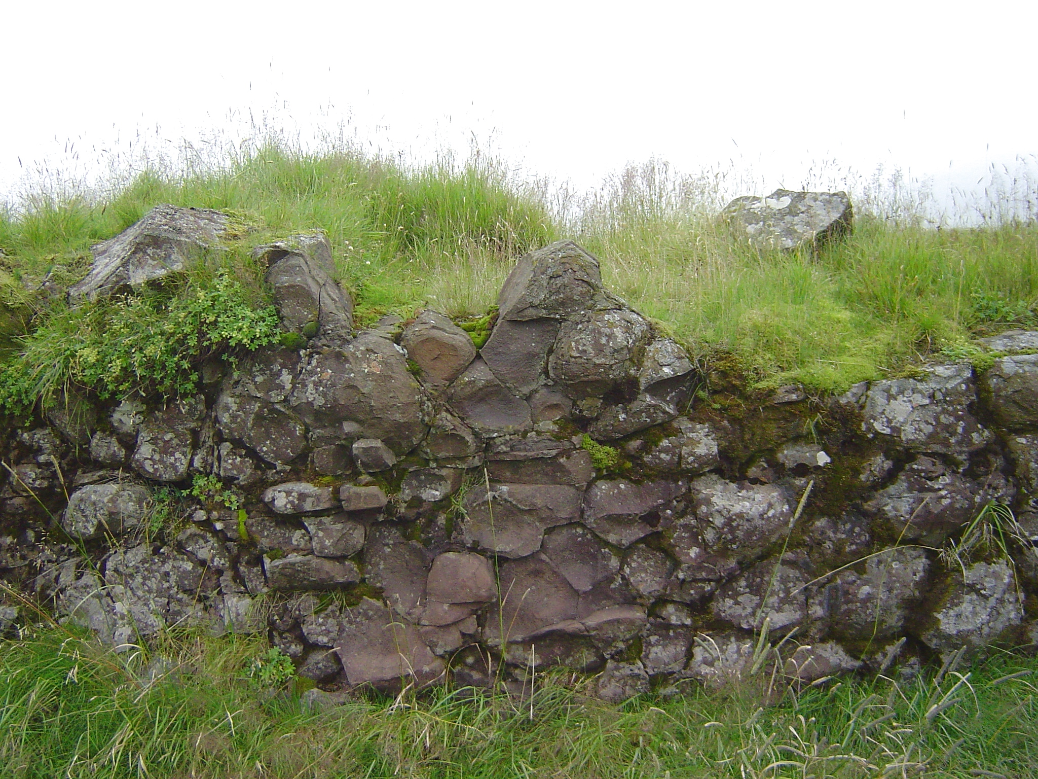
A dike north of Höfn
face view, showing columnar jointing
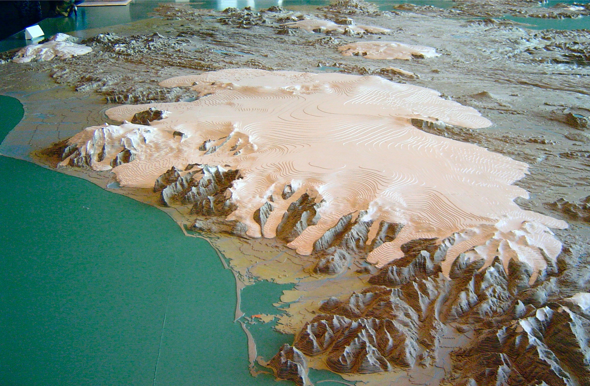
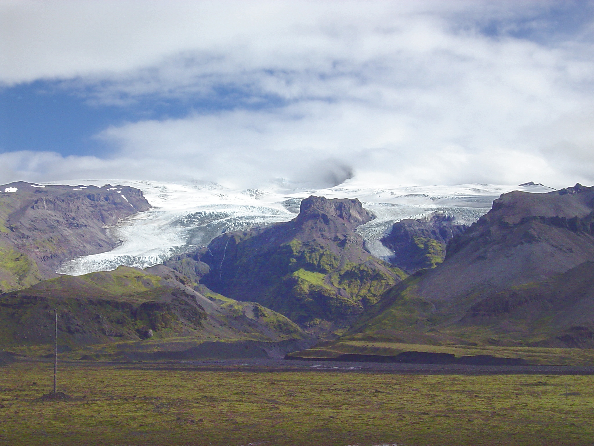
Glaciers
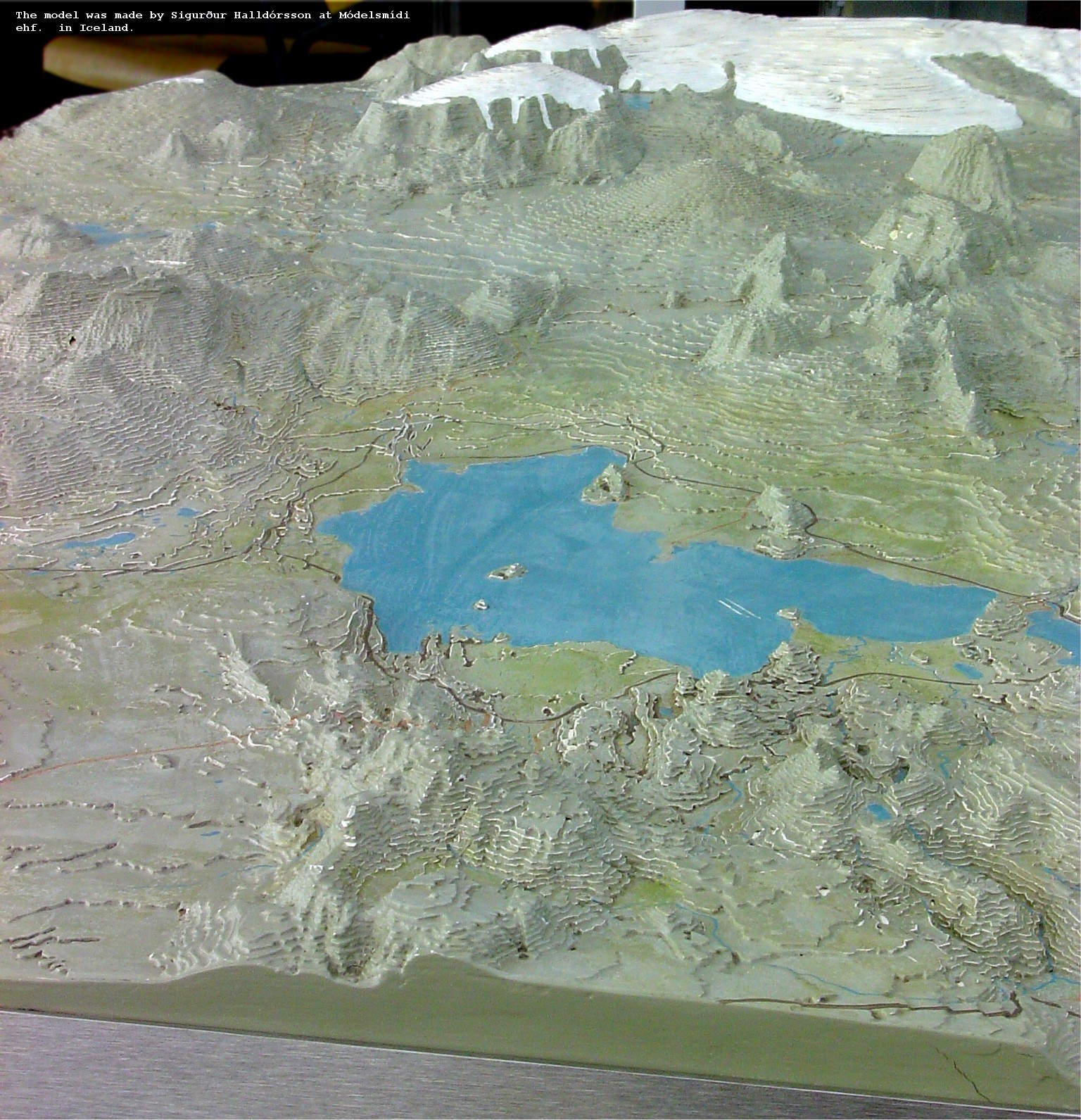
topographic model of Vatnajökull, looking SW
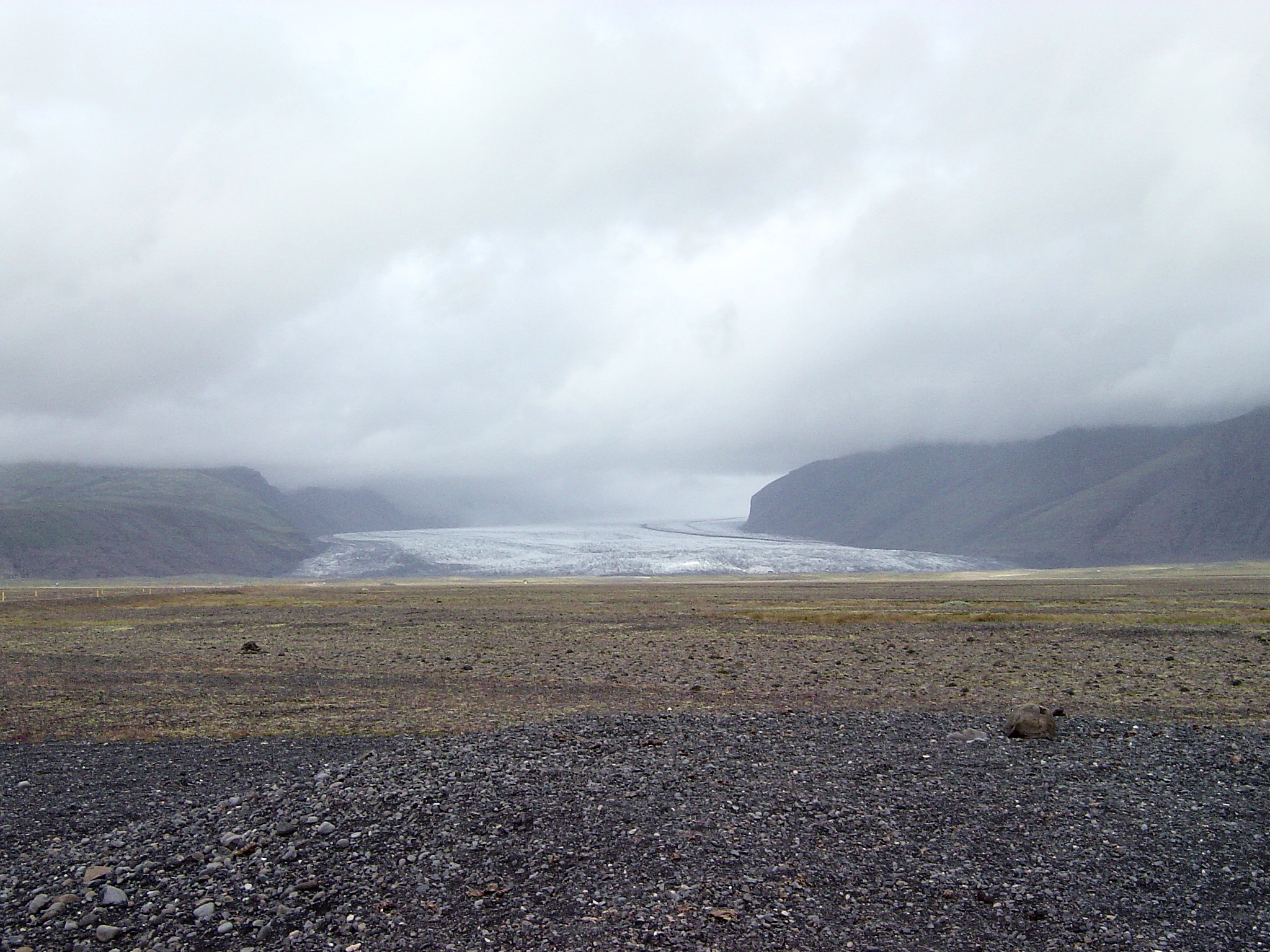
unusual (unnamed?) glacier east of Svínafell does not occupy a valley
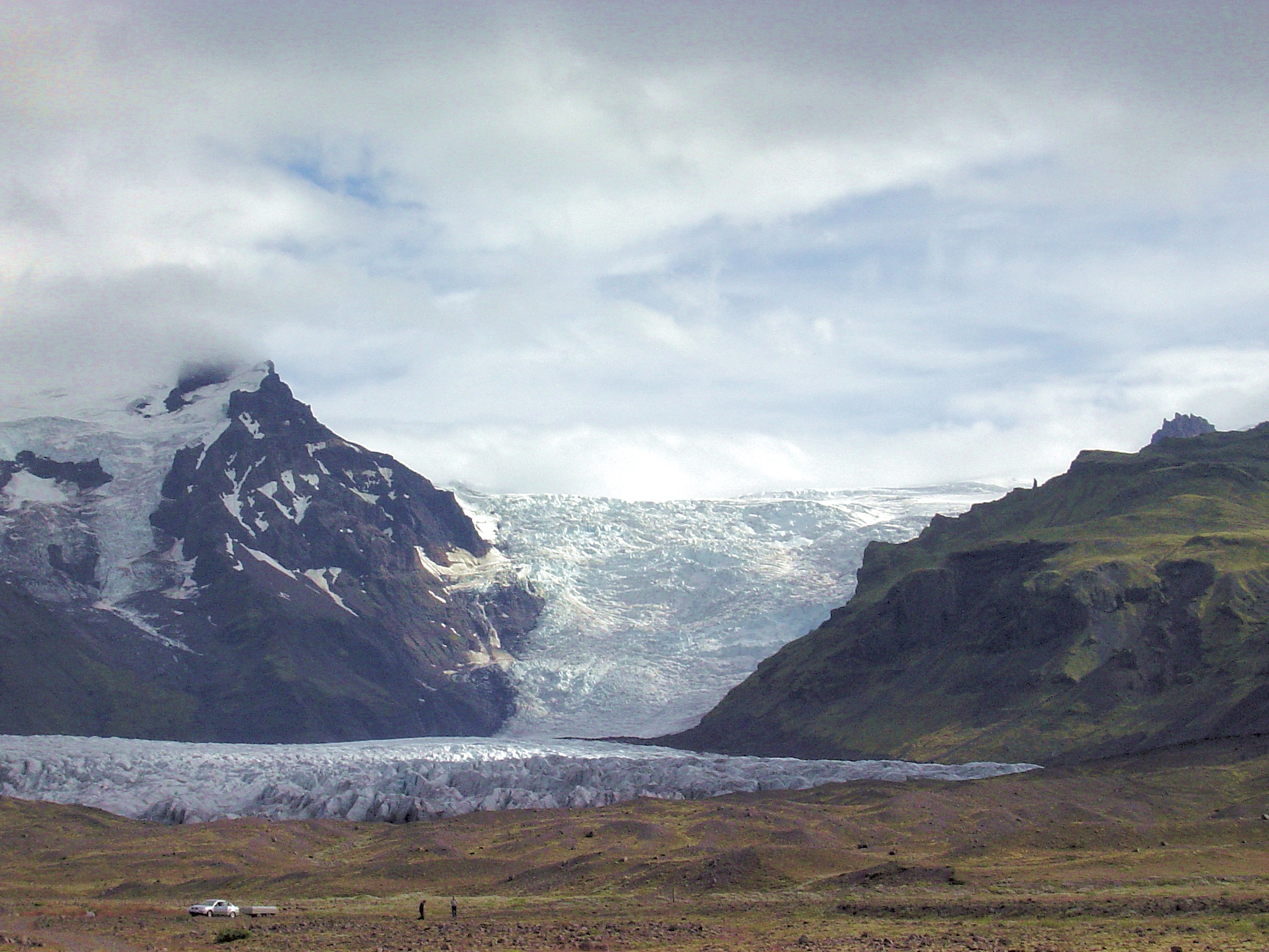
twin distributary glaciers (from Öræfajökull) near Svinafell
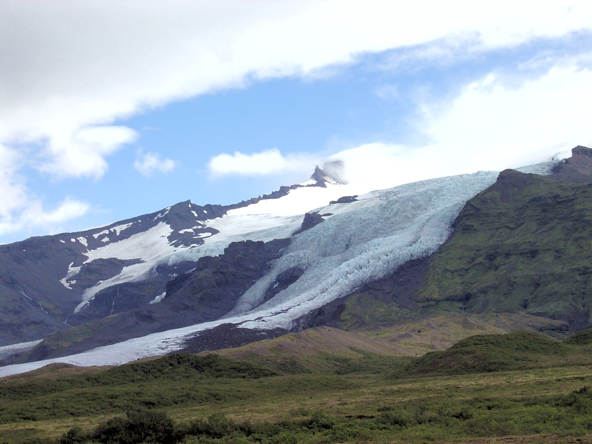
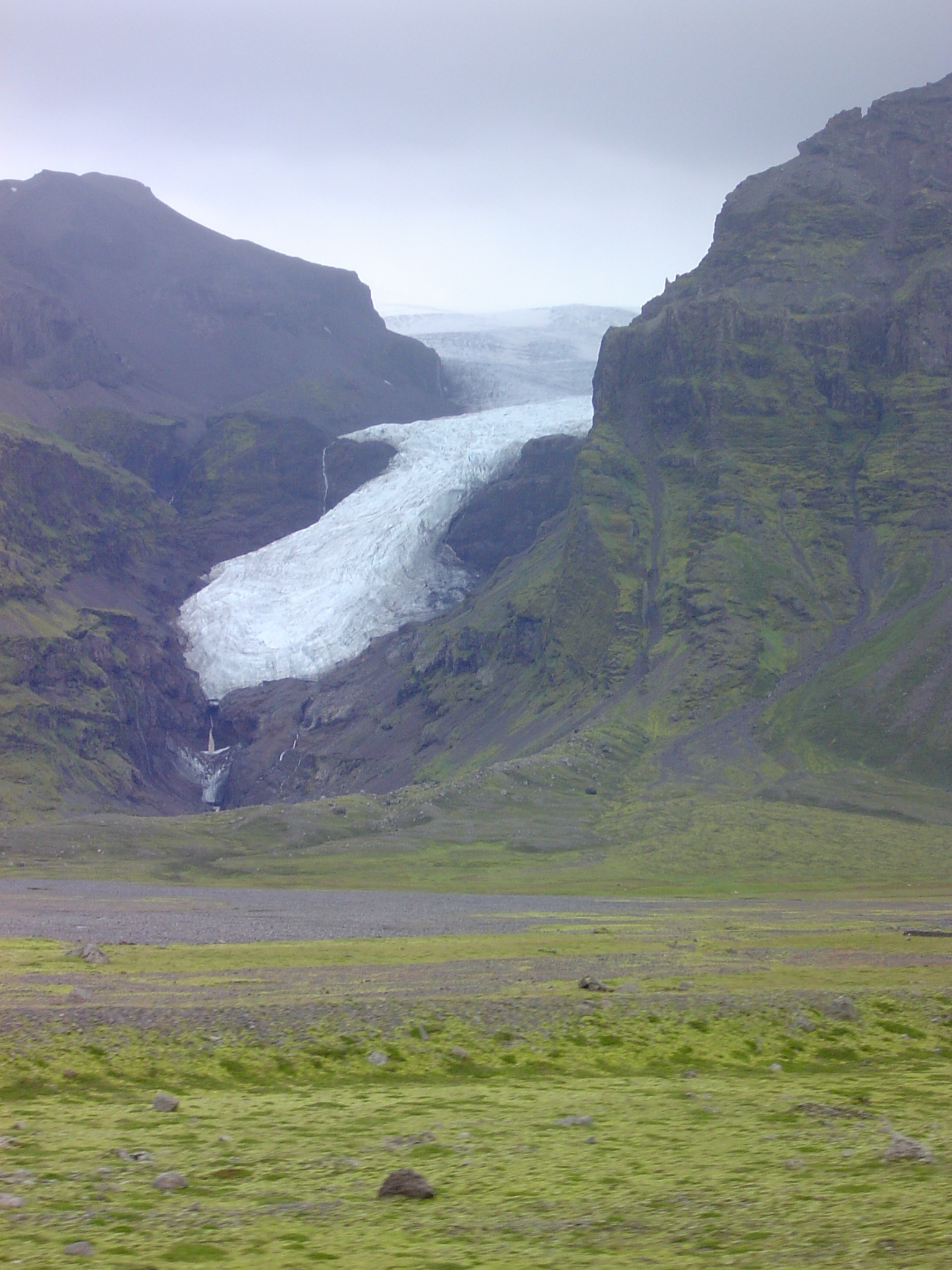
receding minor glacier draining from Öræfajökull
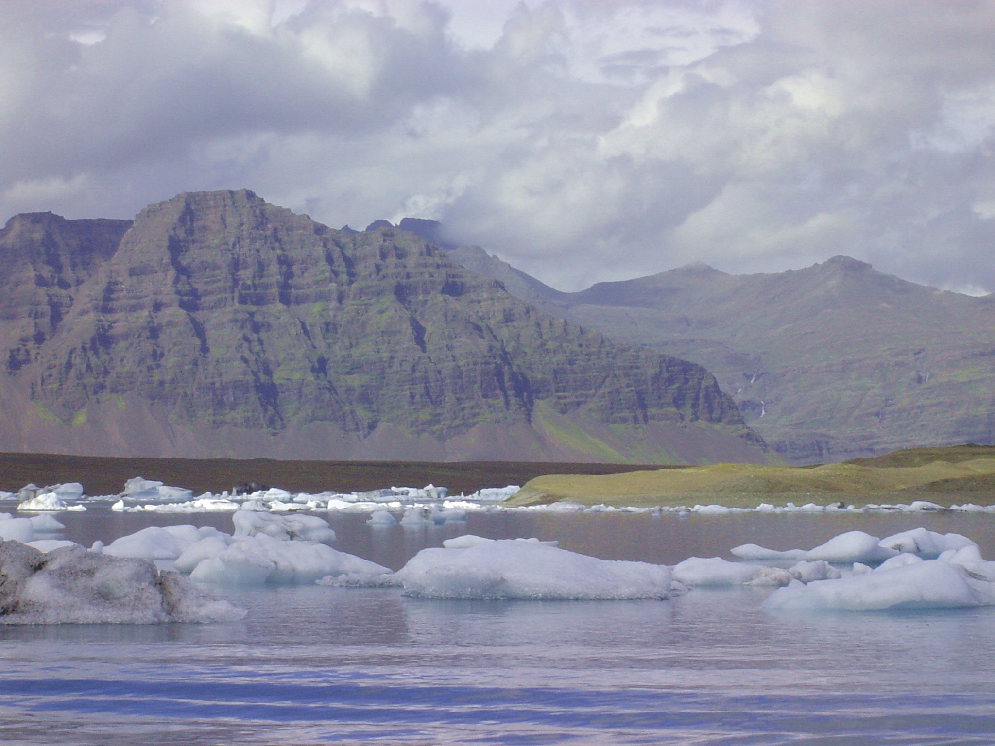
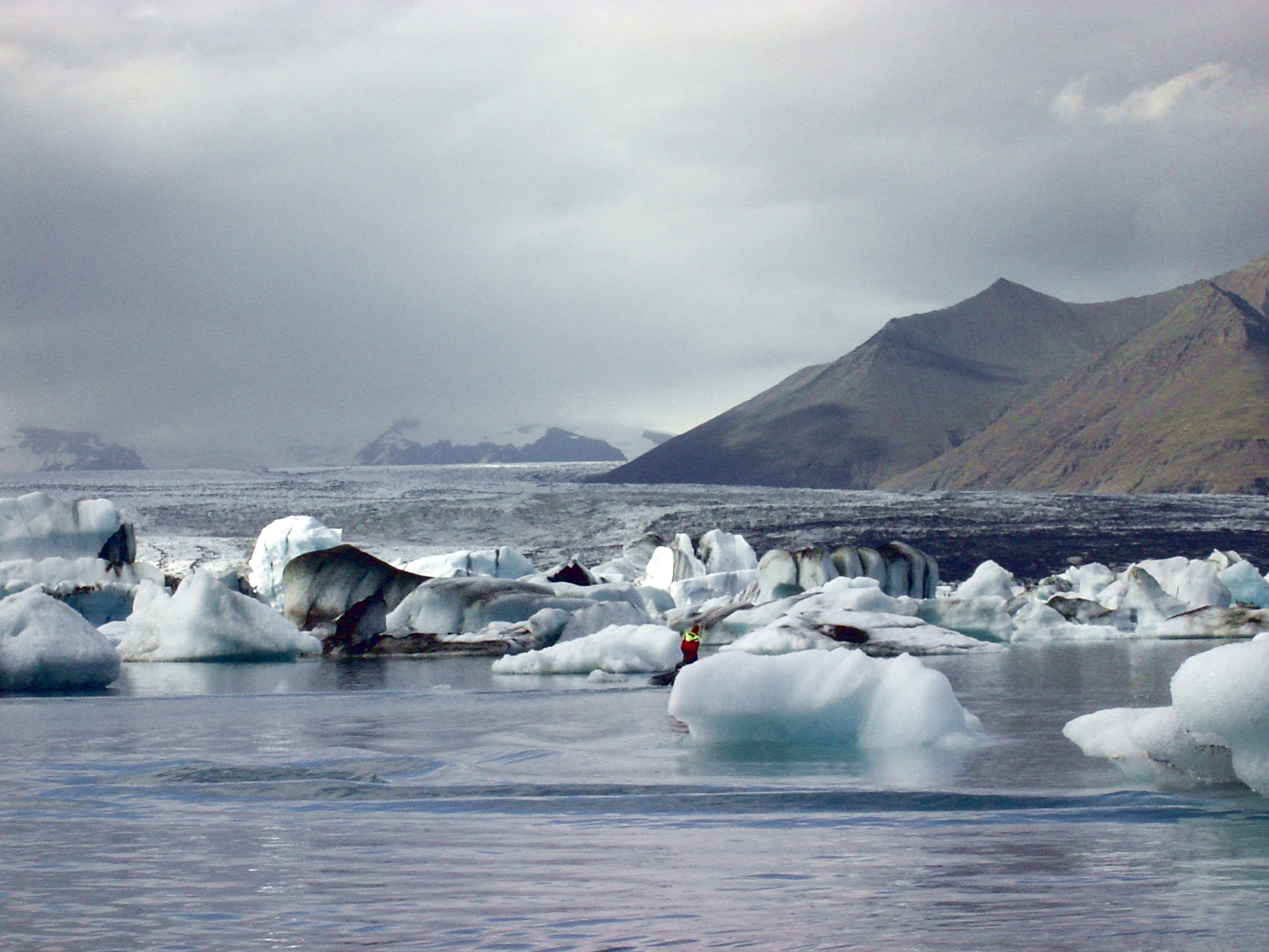
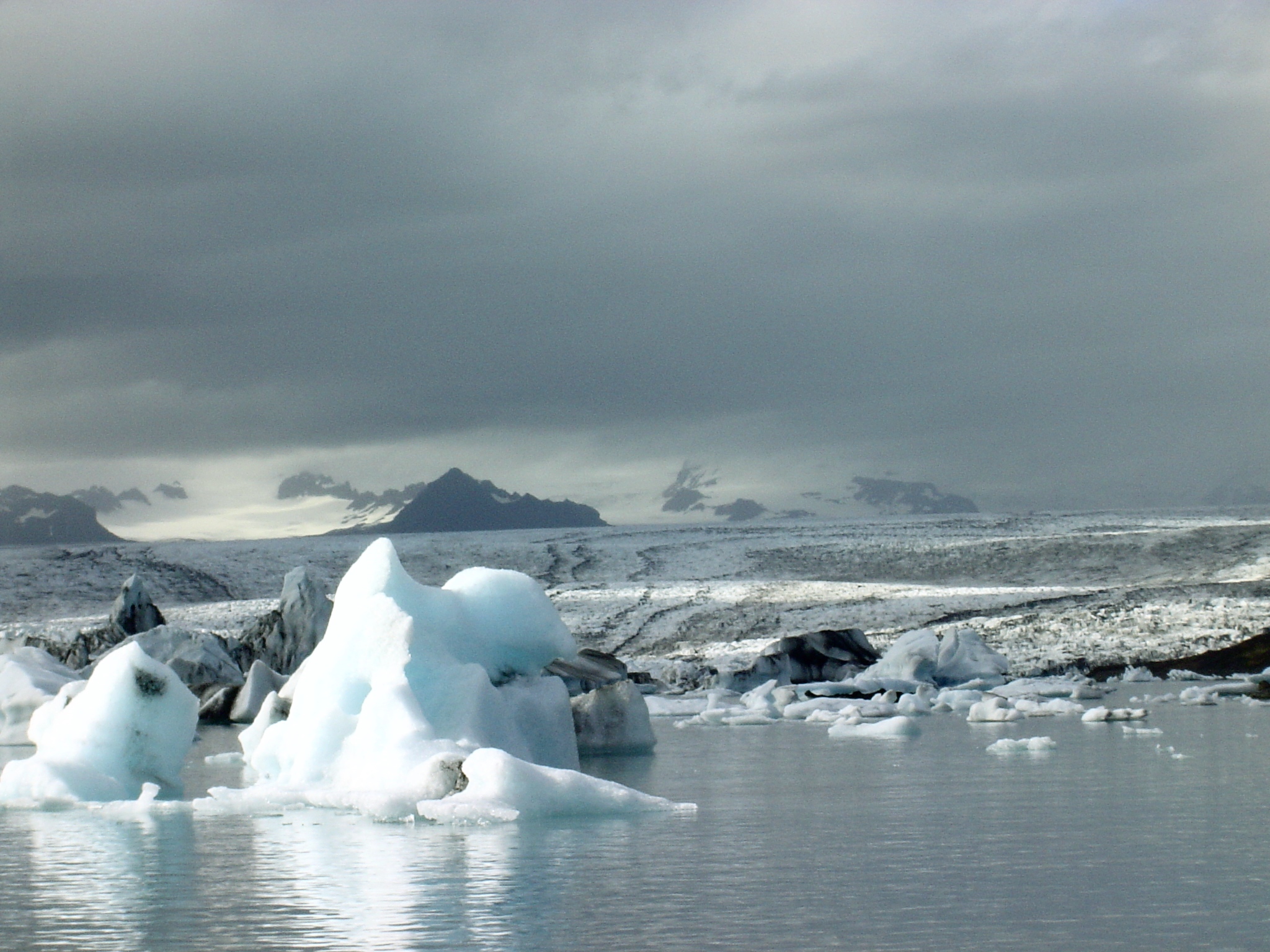
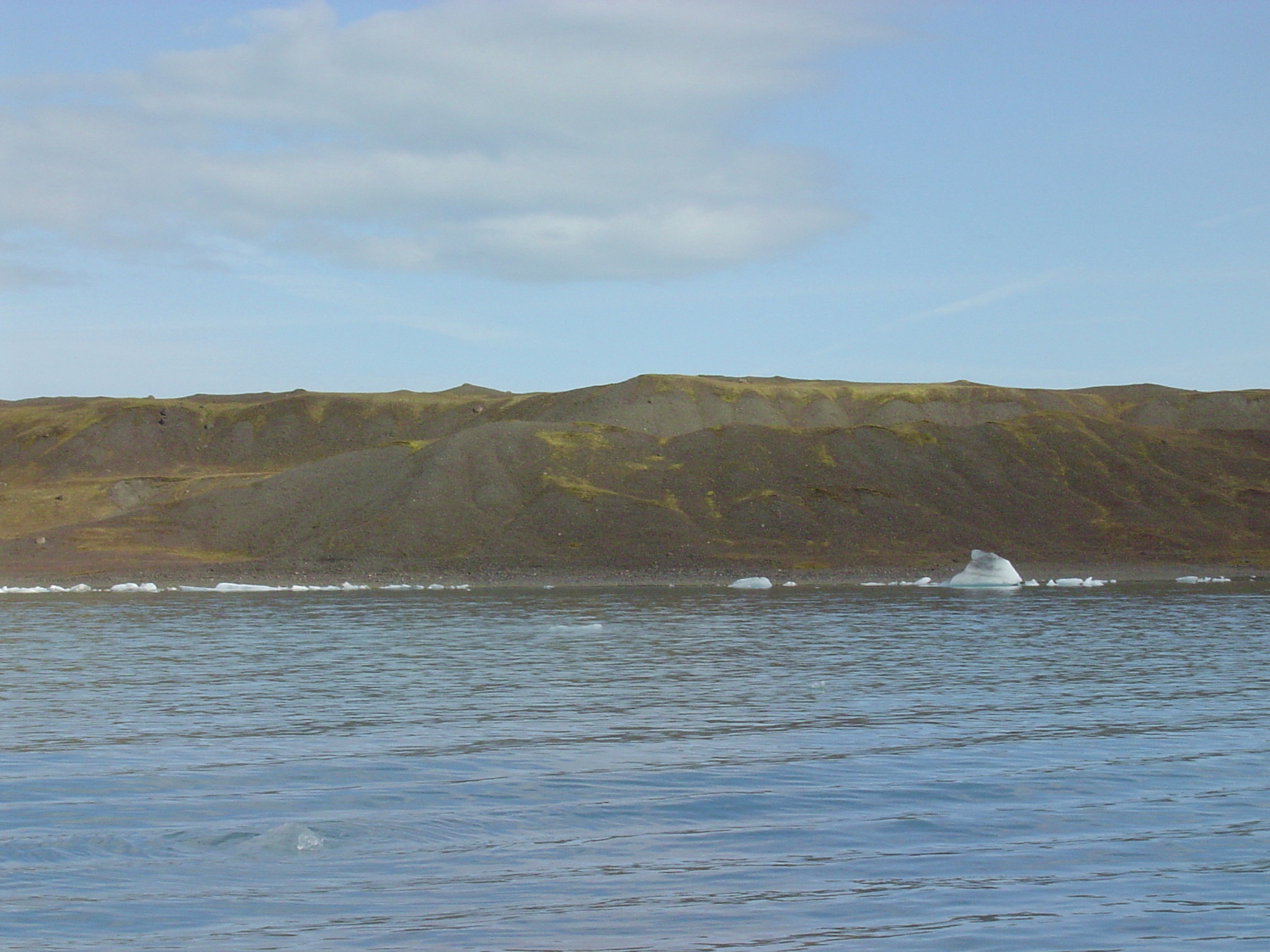
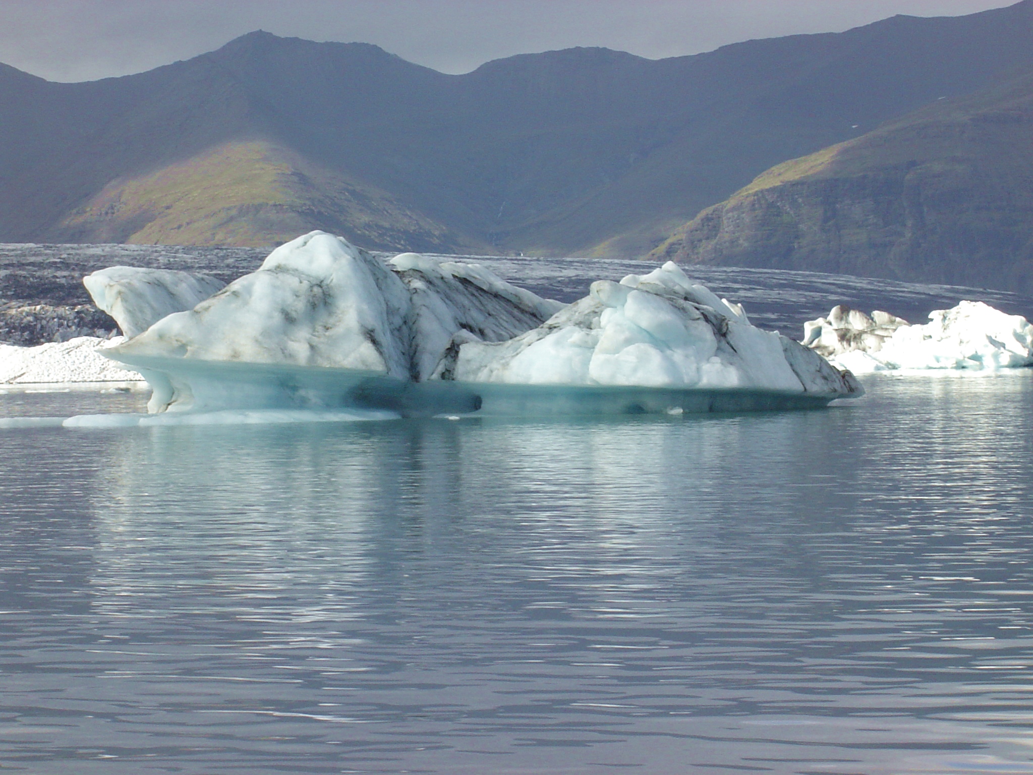
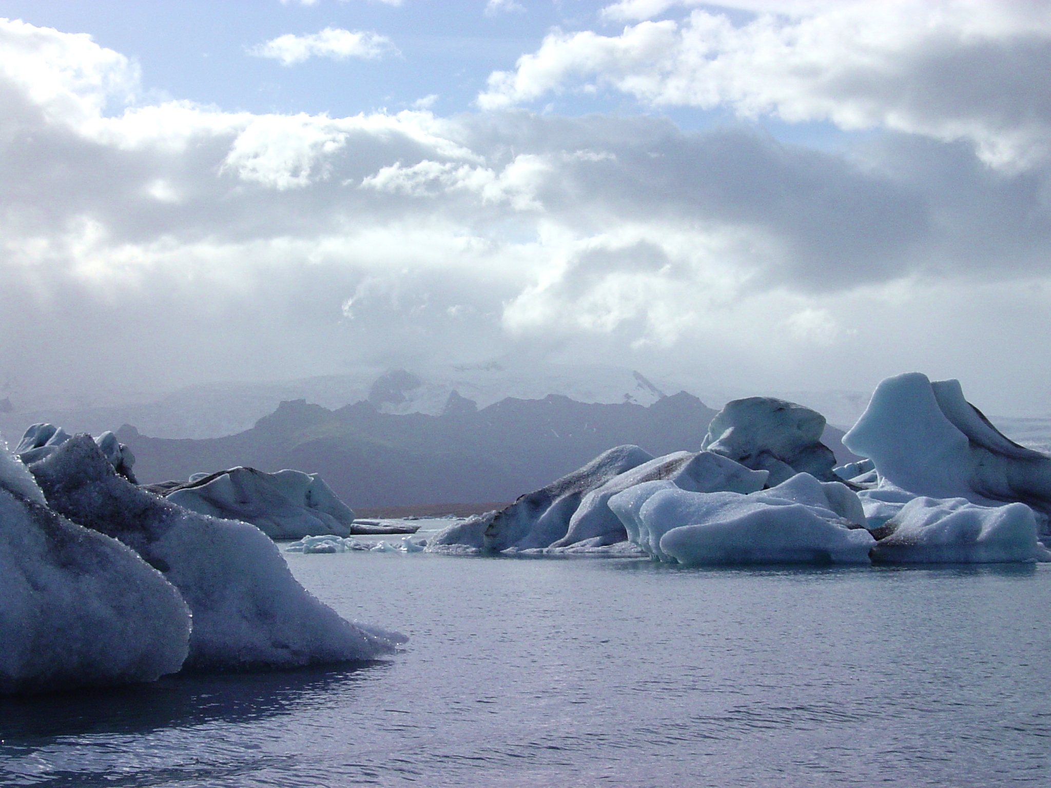
Breiðamerkurjökull and Jökulsárlón:
Breiðamerkurjökull above Jökulsárlón
Breiðamerkurjökull, showing slope (relative to horizontal cloud ceiling)
medial moraines in Breiðamerkurjökull
terminal moraine surrounding Jökulsárlón
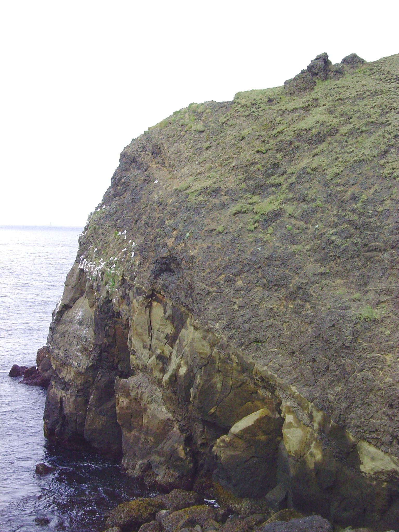
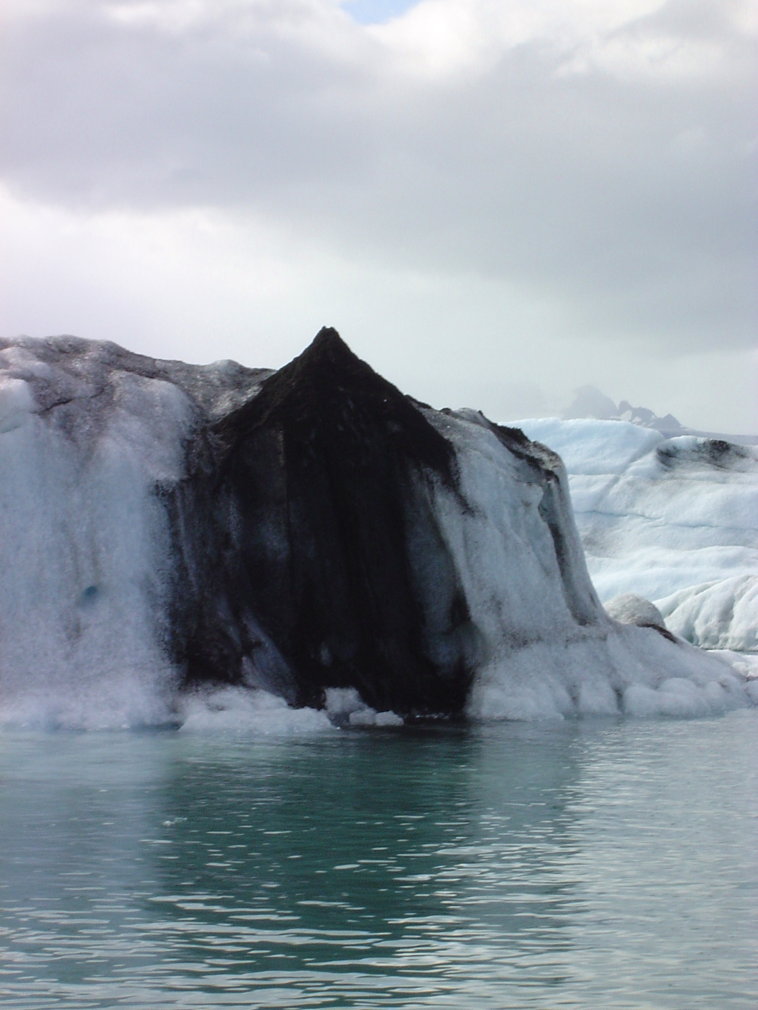
Sub-glacial eruptions
historic:
multiple volcanic ash layers in iceberg
Pleistocene (when all Iceland was under an icecap):
palagonite (foreground) and hyaloclastite ridge (background) near Krýsuvík
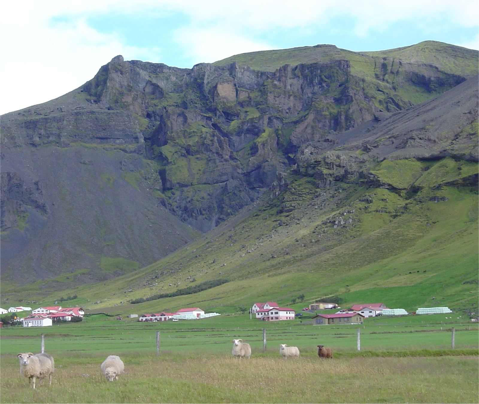
chaotic lavas and hyaloclastite(?) between Svínafell and Hof
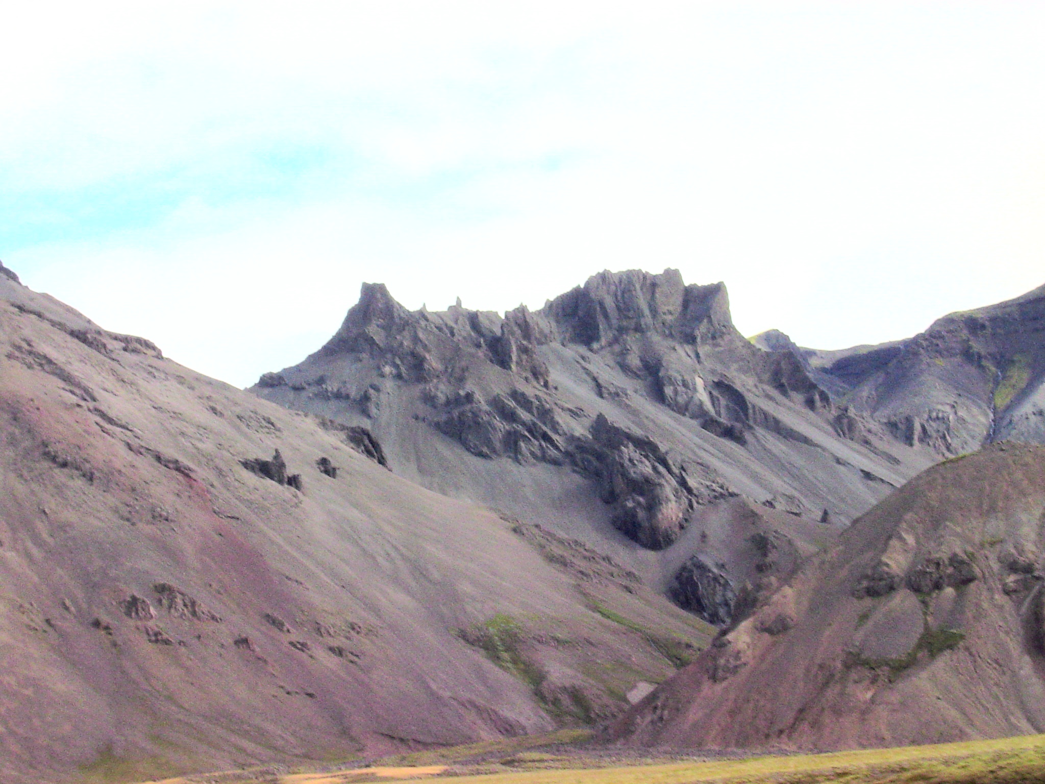
sub-glacial eruption structures(?) near Hof
meta-hyaloclastite(?) block near Höfðabrekka
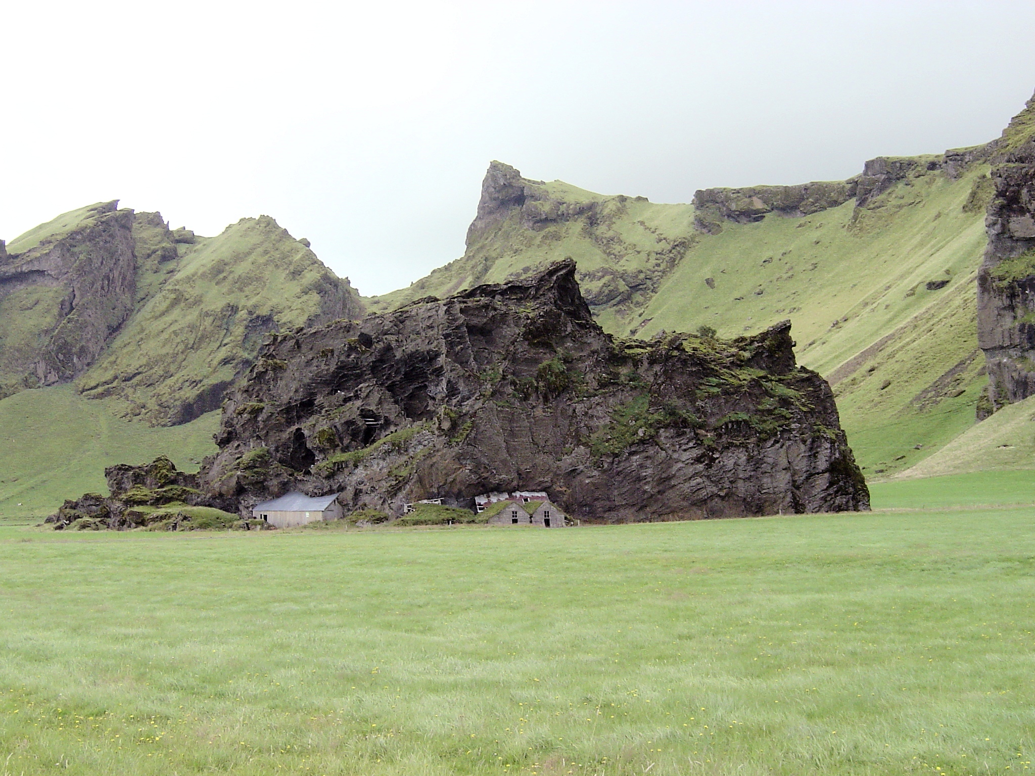
Hrafnabjörg, east of Þingvellir
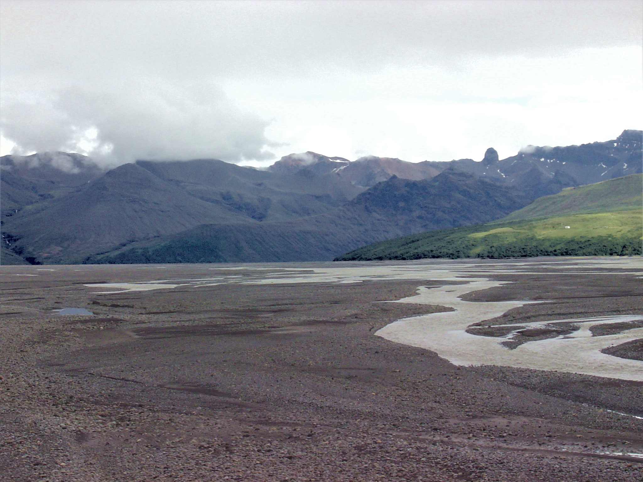
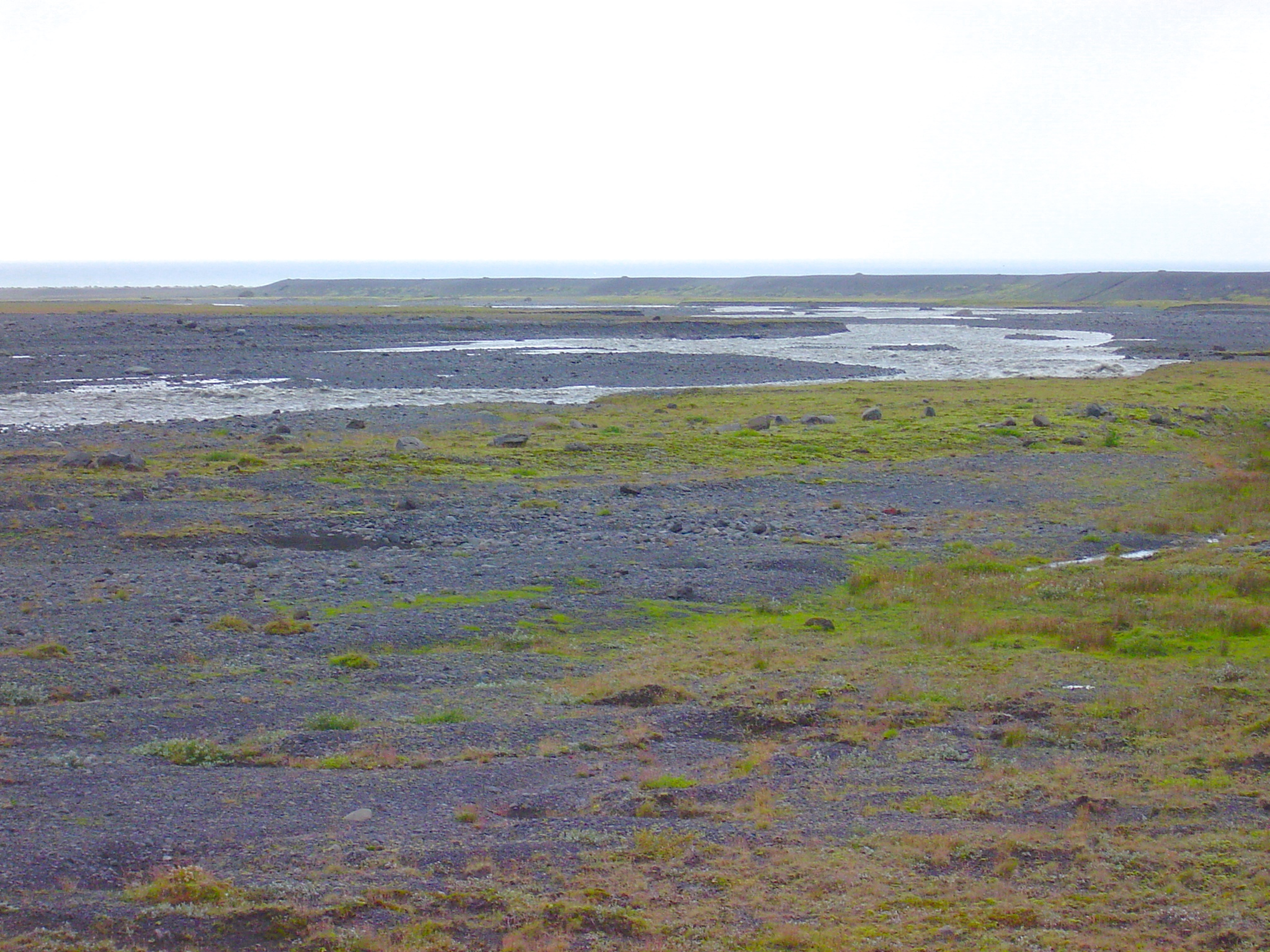
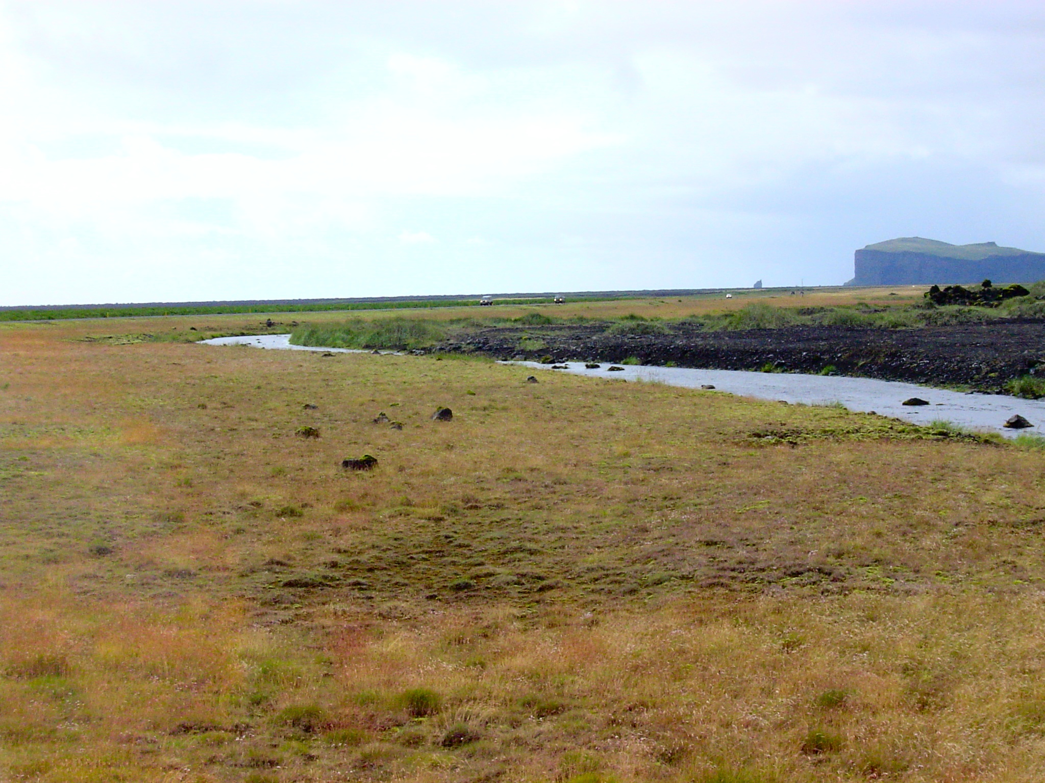
Jokulhlaups and sandurs
old bridge support, bent by 1996 jokulhlaup
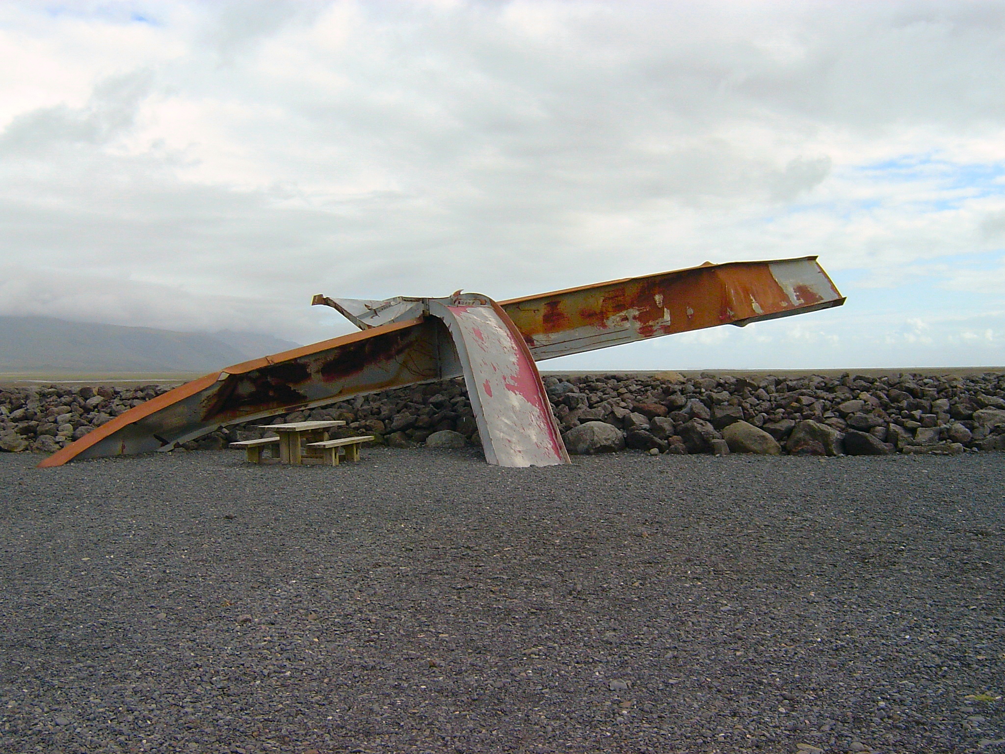
Skeiðarársandur below Skeiðarárjökull
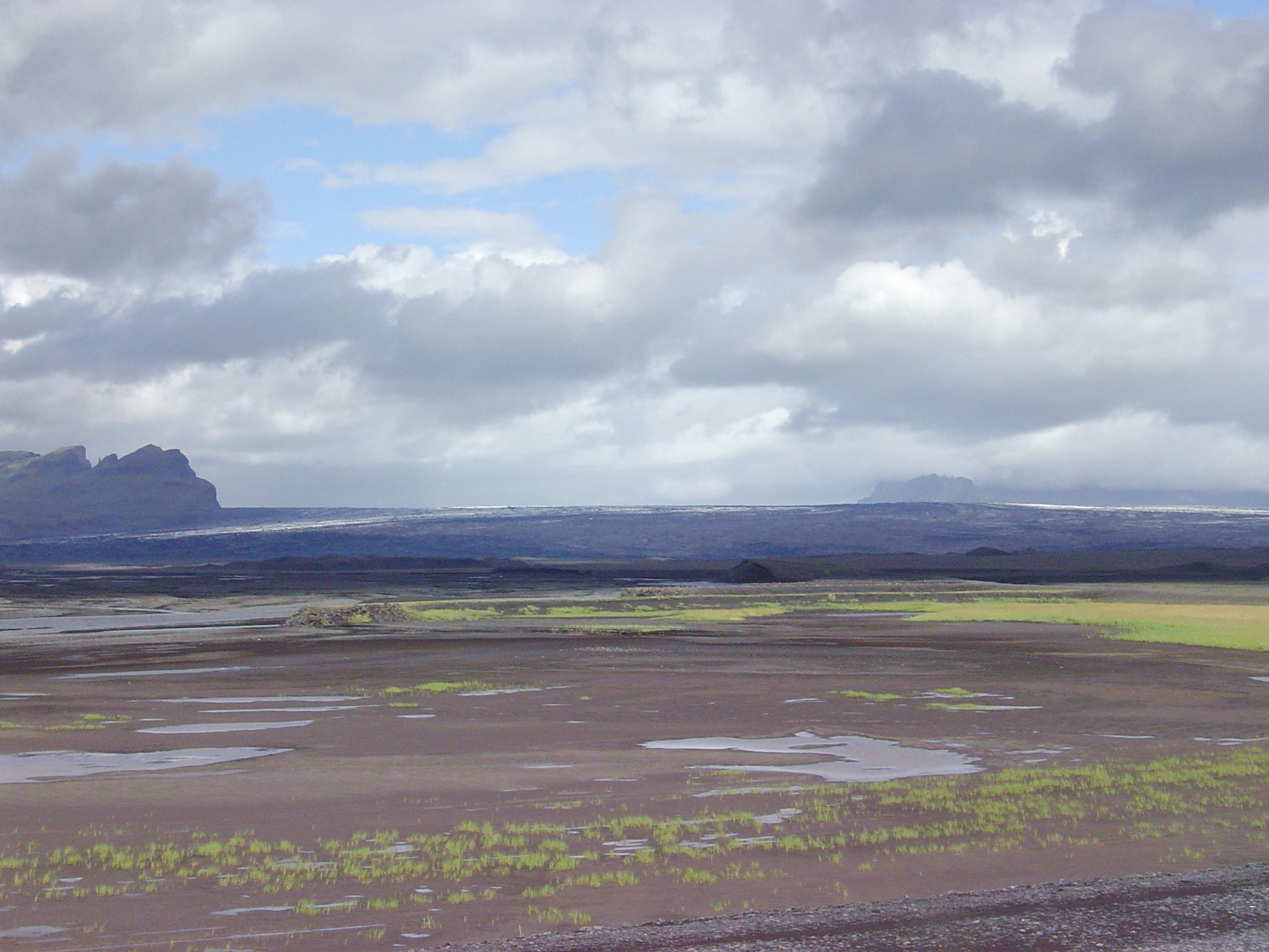
Skeiðarársandur (northeast margin)
Skógasandur, south of Mýrdalsjökull
Mýrdalssandur, looking toward the sea
older sandur surface in Mýrdalssandur
Silicic and/or explosive volcanism
granodiorite: Iceland has silicic magmatism, too! Presumably, silicic magmas form by (a) partial re-melting of basalt crust at its base (due to deep burial), and/or (b) fractional crystallization of large volumes of gabbro in a magma chamber, leaving a residuum (e.g., Hekla?).
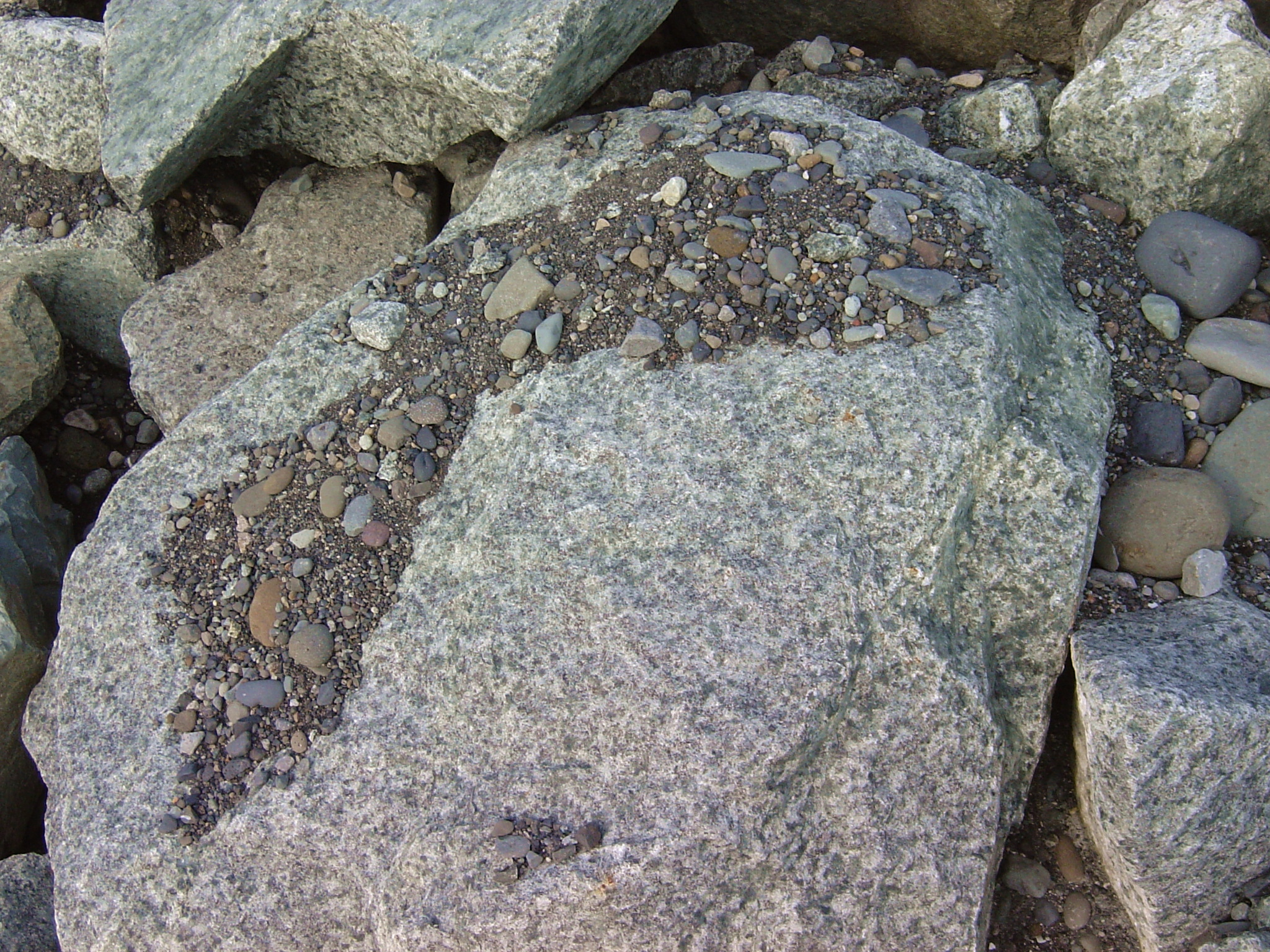
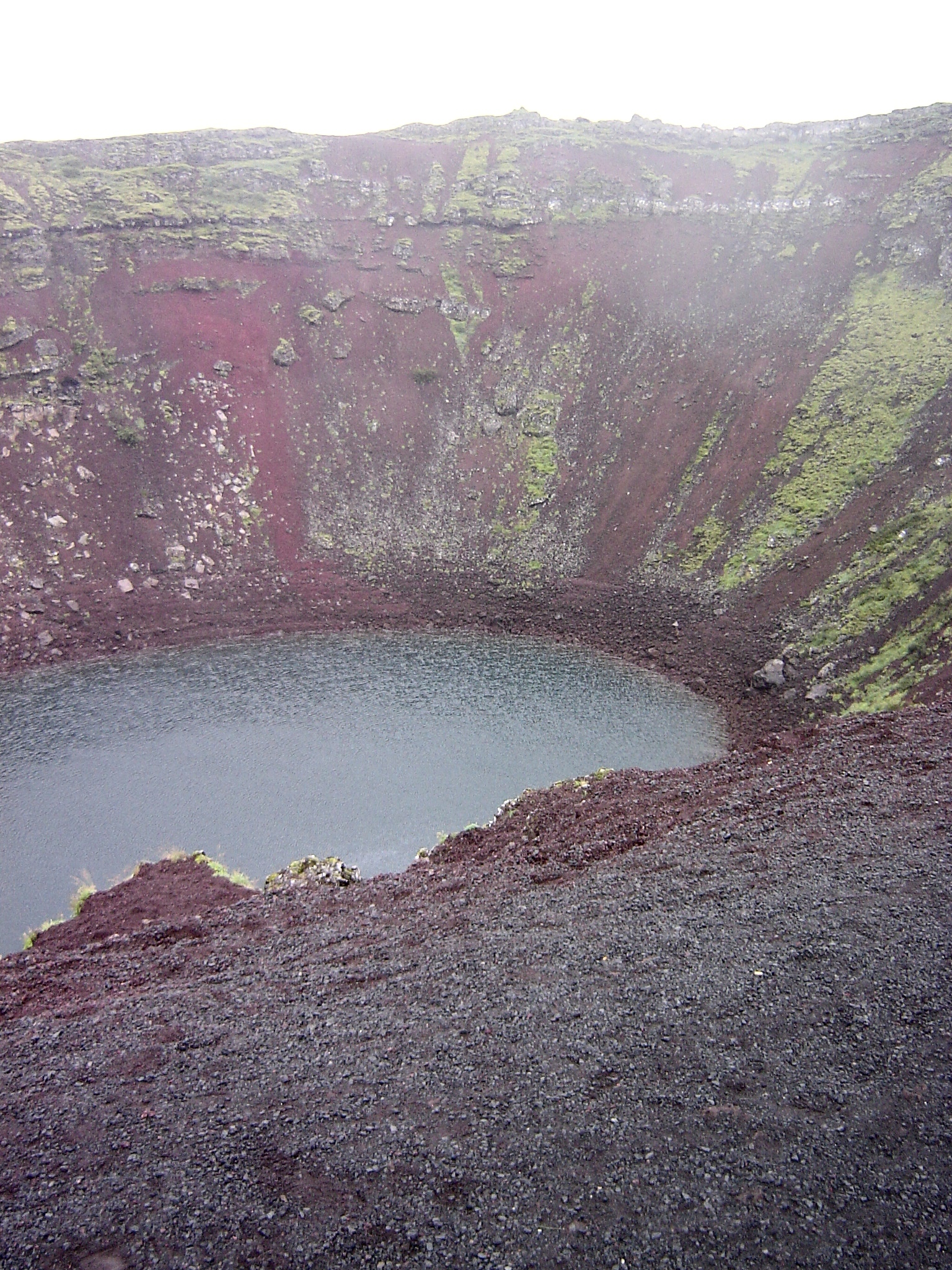
explosion (or collapse) crater lake Grænavatn near Krýsuvík
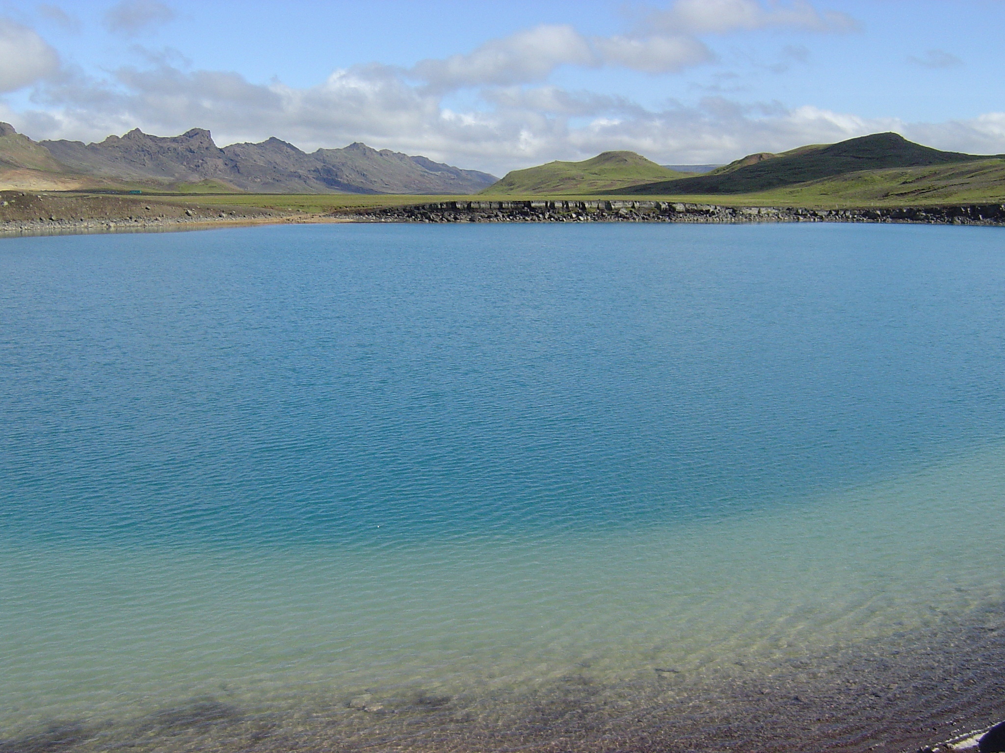
explosion (or collapse) crater east of Álftavatn
tephra field of the 1104 AD eruption of Hekla This eruption was comparable in volume to the 1980 main eruption of Mount St. Helens in Washington state. It destroyed more than a dozen farms in Þjórsárdalur, and the area has still not been reoccupied.
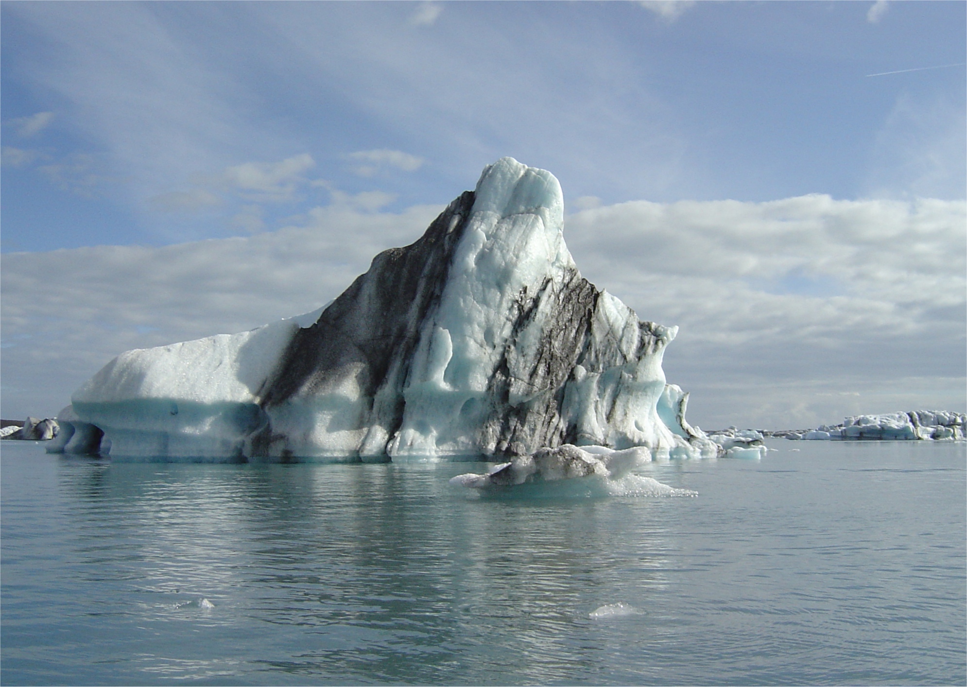
Isostasy in action
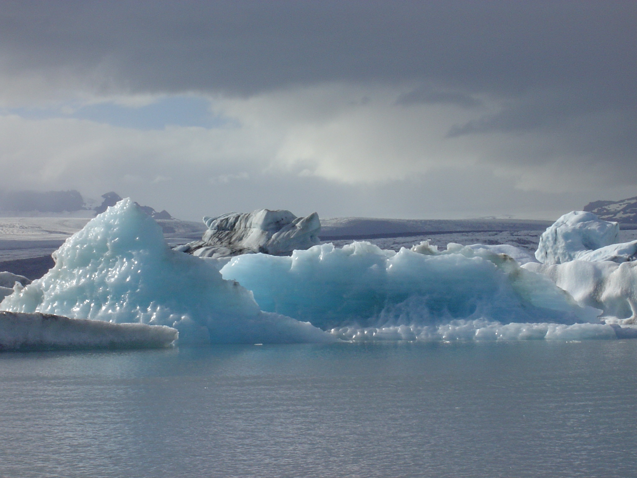
isostatic rebound of a small iceberg (following faster melting of the upper parts, which are exposed to warmer water and/or to weather)
Hvannadalshnúkur: The highest mountain in Iceland is found near the coast, where precipitation, and thus glacial erosion, have been greatest.
All stratified lavas in east Iceland dip to the west: (This is due to loading on top by younger flows to the west.)
layered lava flows north of Jökulsárlón
lavas at Áltafjörður, looking N
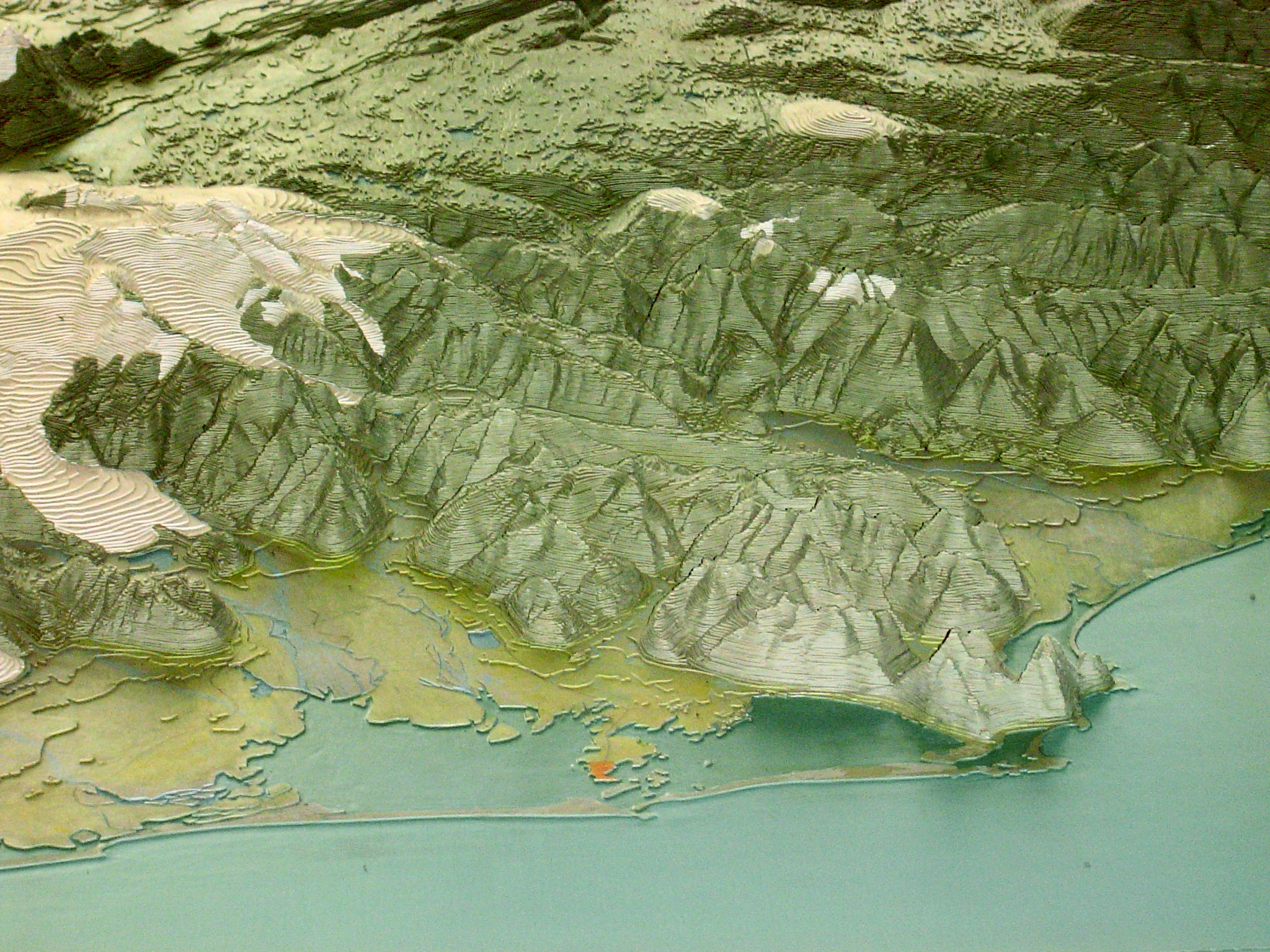
a fracture zone scarp(?) in eastern Iceland. The unnamed sinistral transform fault that once connected (and may still connect?) the N end of theWest rift to the S end of the North rift is obscured by surface deposits, but there should still be an imprinted age contrast across a NW-SE line within the Eurasia plate. The NE side should be younger by about 10 Ma, and therefore higher. Even though this fracture zone(?) has not been mapped, and its inactive fault may be buried, one can infer it from the topographic "wall" of mountains just NE of the port town of Höfn (orange dot in this model). Another NW-SE-trending mountain "wall" which might be a fracture zone scarp is found 85 km to the southwest, from Skaftafellsfjöll to Hvannadalshnúkur. Notice the Z-Z shape of the margin of the highlands in this view looking SW across a topographic model.
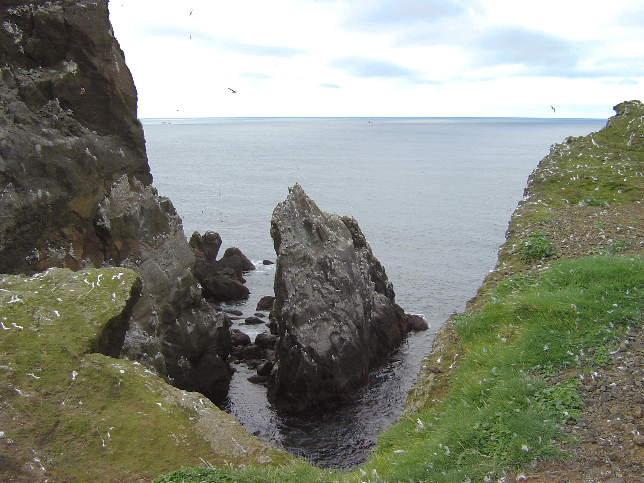
Erosion of stratified volcanics: waterfalls, columns, & caves
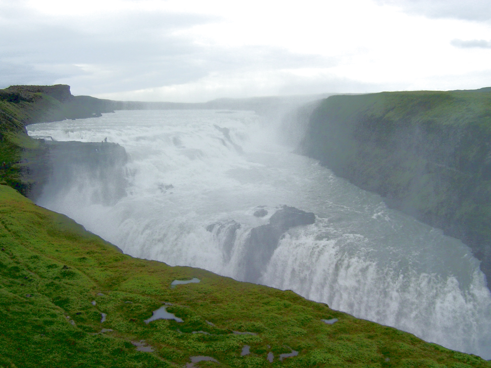
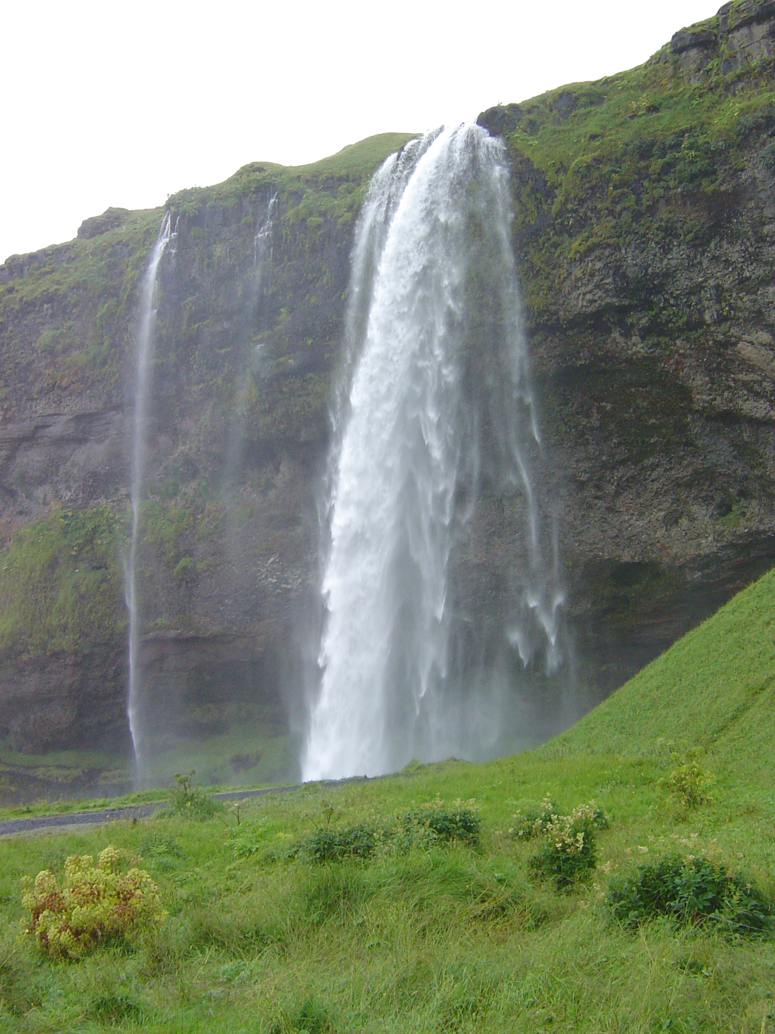
an amazing density of waterfalls (foss)
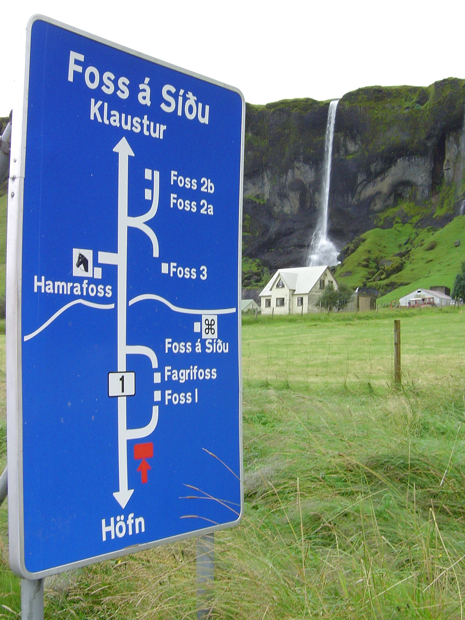
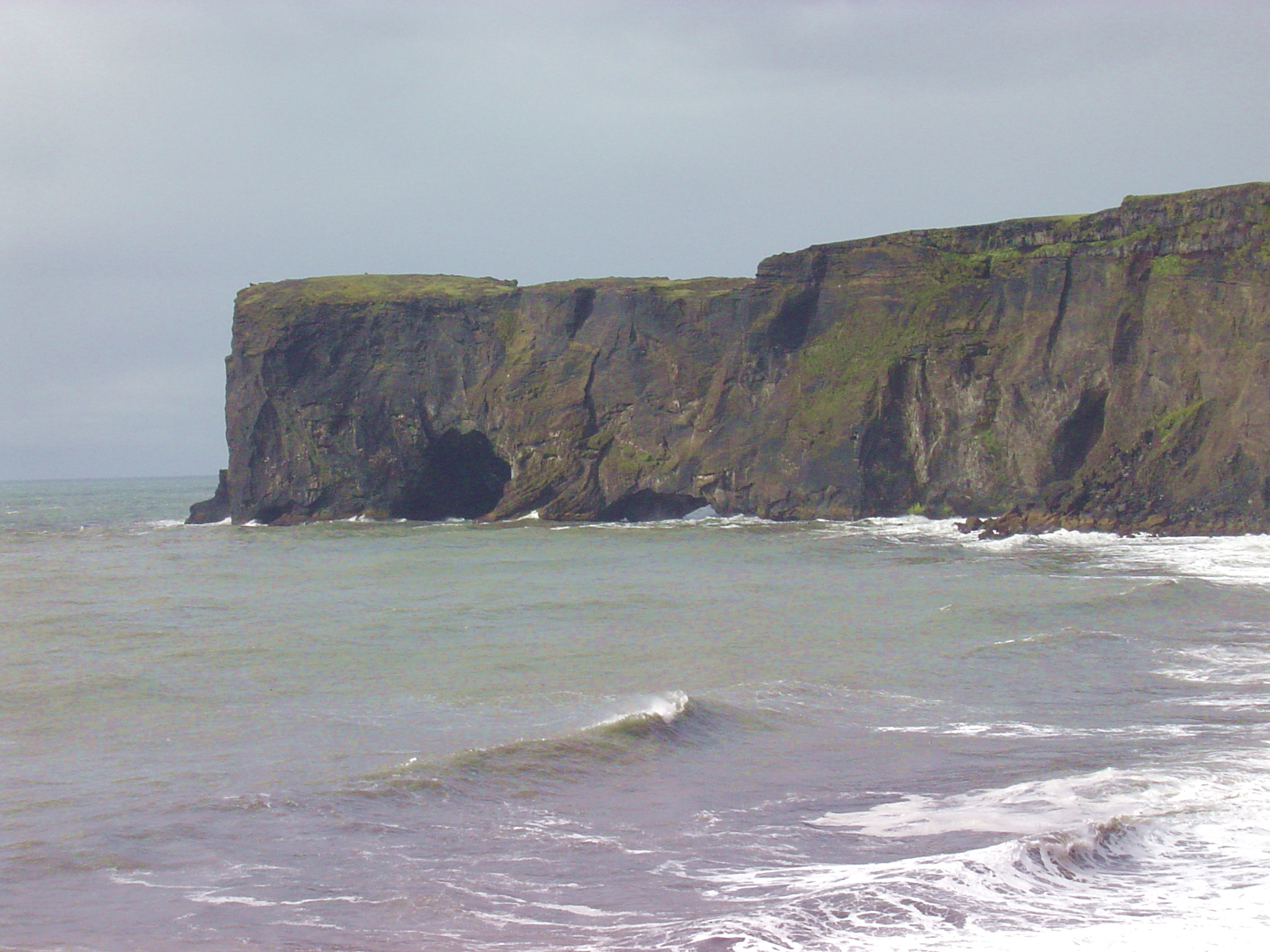
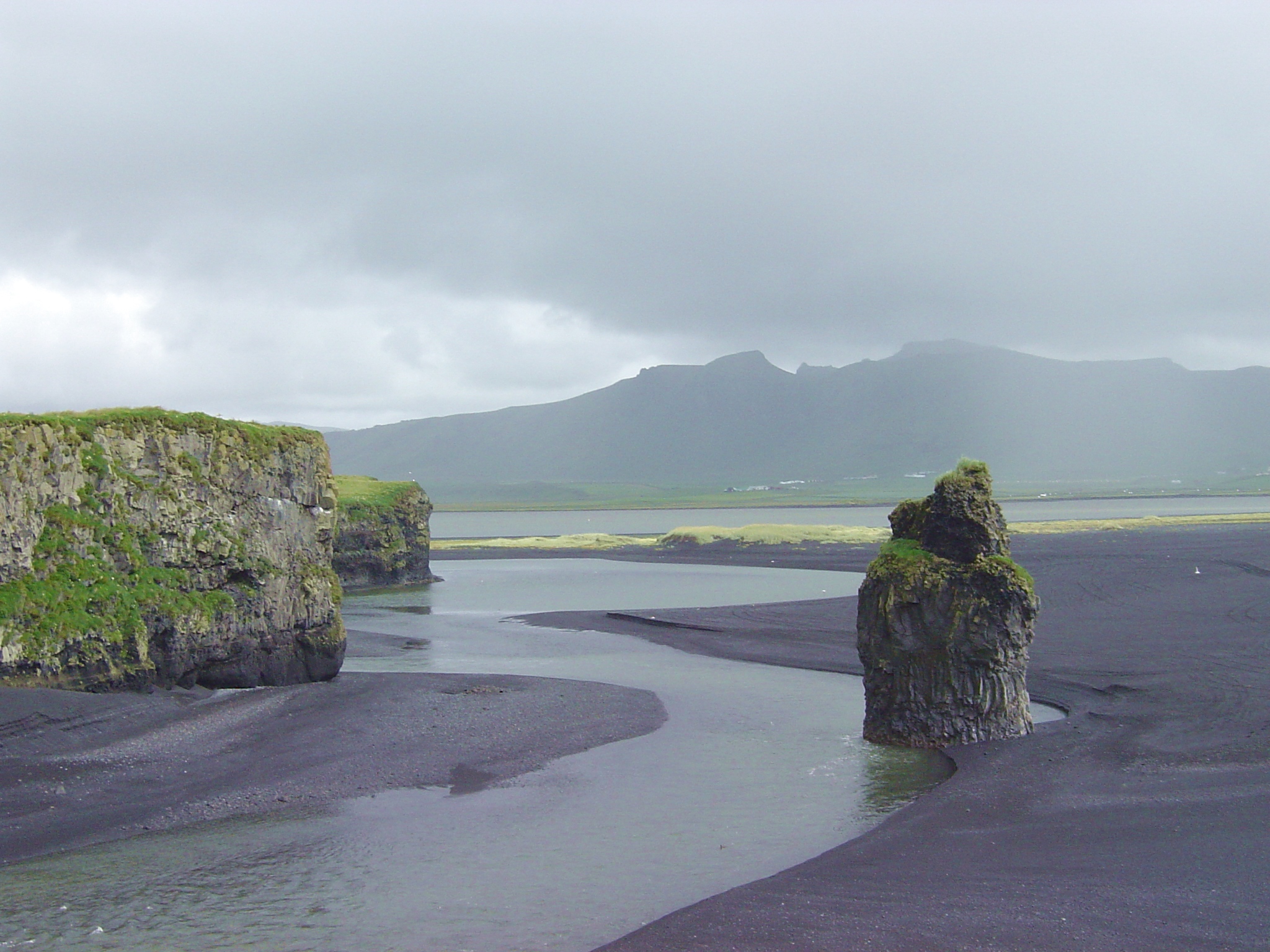
Dyrhólaey (southern tip of Iceland):
stratigraphy: thick basalt flows (with columnar jointing) over sandur deposits
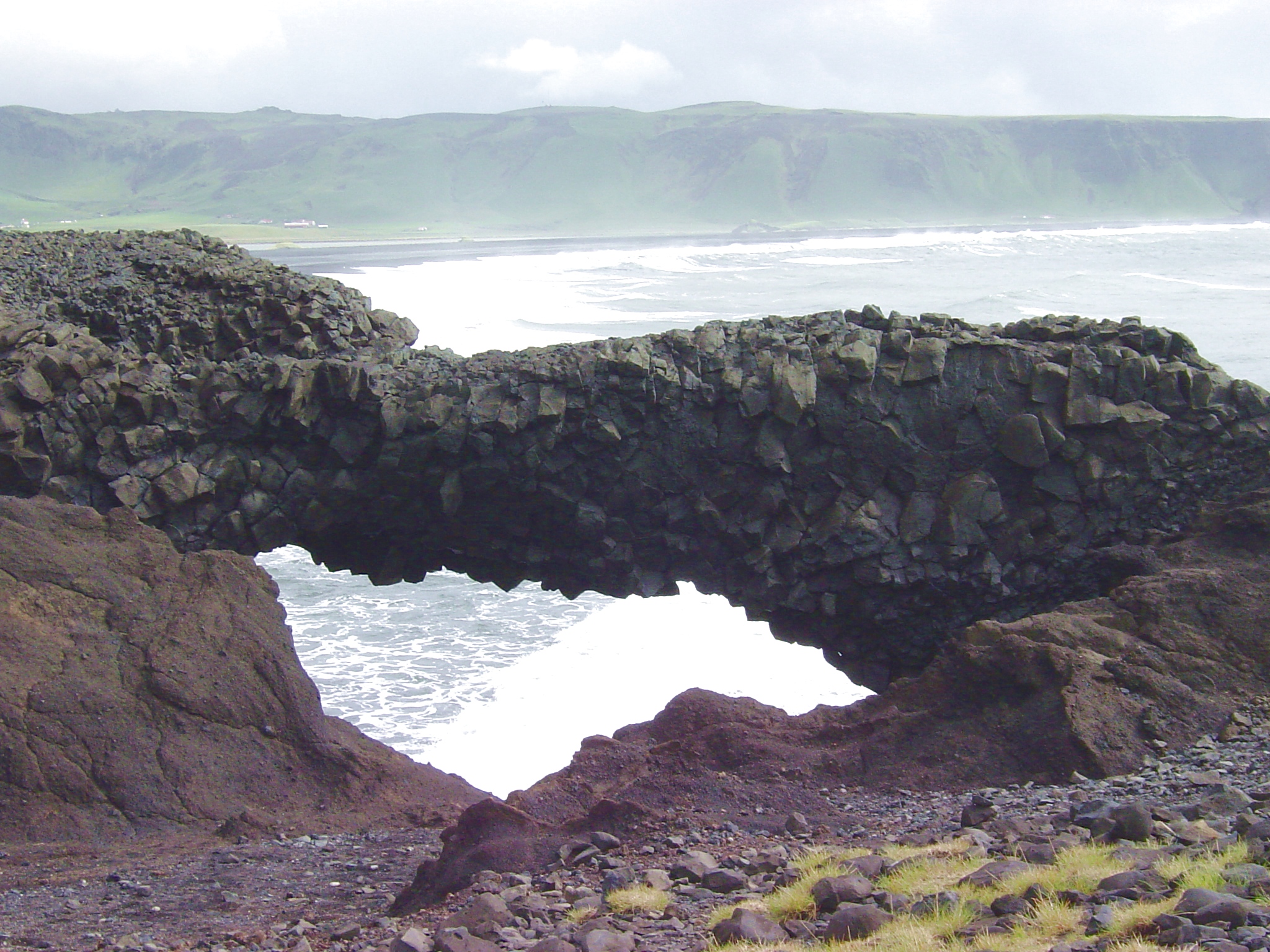
Dyrhólaey = "door-hole" arches
basalt column: basalt flows break easily along columnar joint fractures
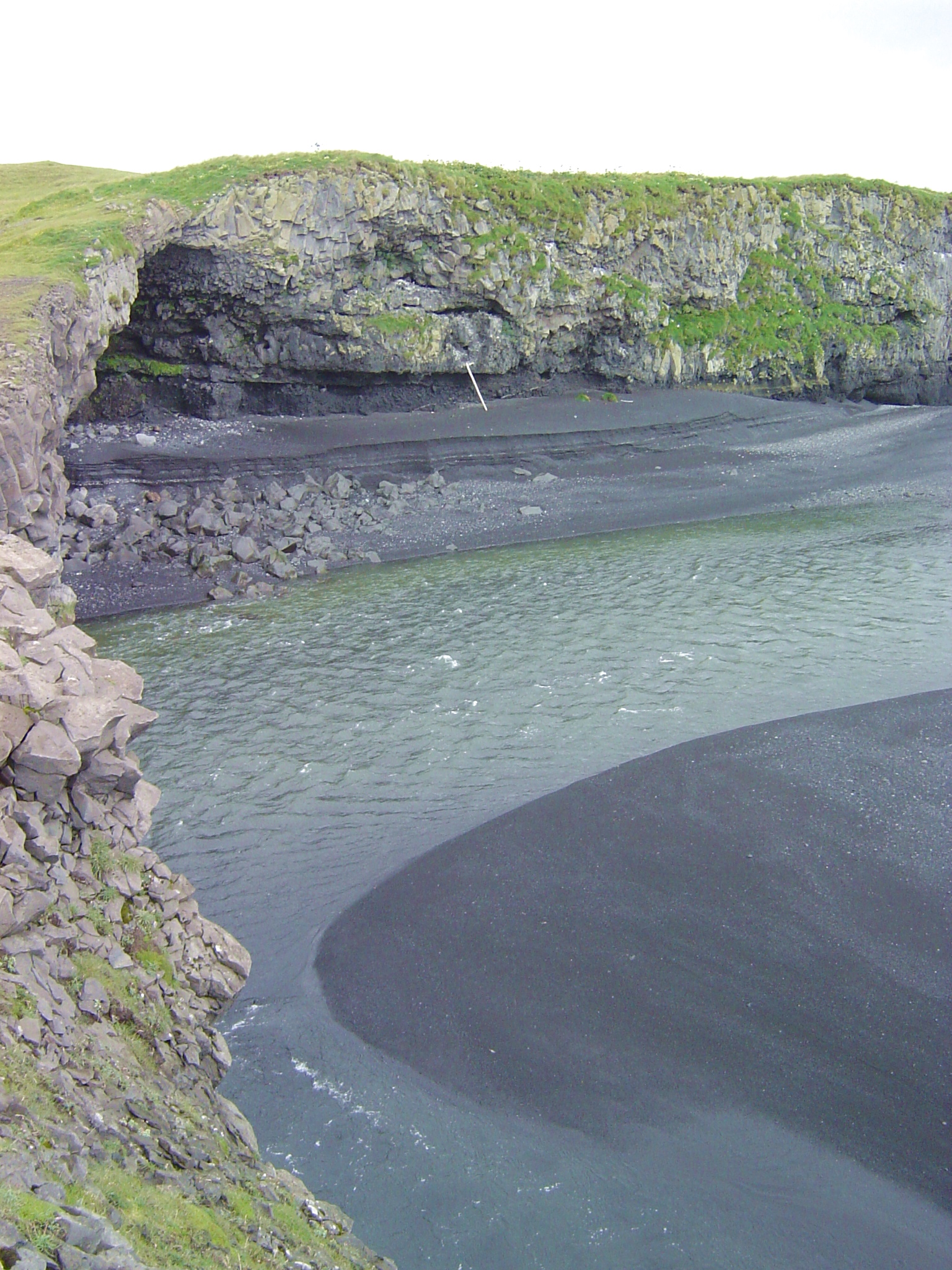
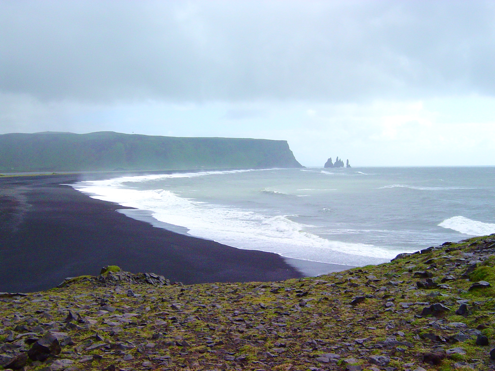
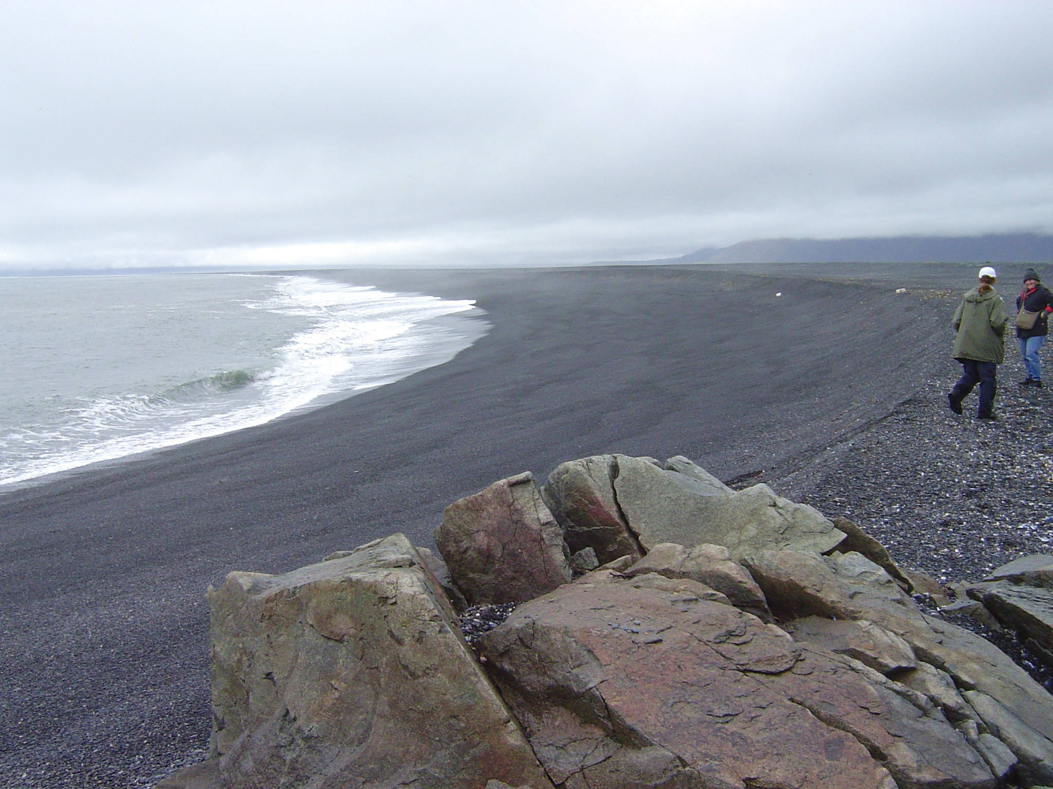
Longshore transport
black sand beach east of Dyrhólaey
Hydrothermal activity
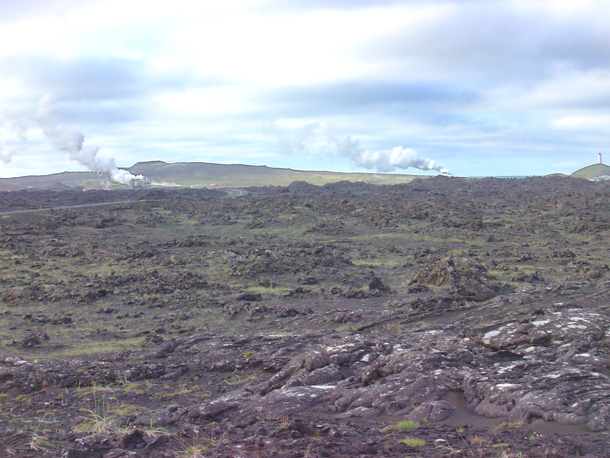
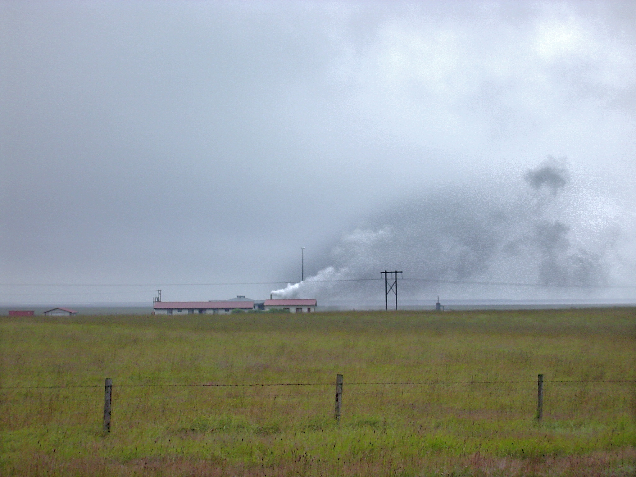
steam rising from Reykjanes ("Smoking Peninsula")
Krysuvik
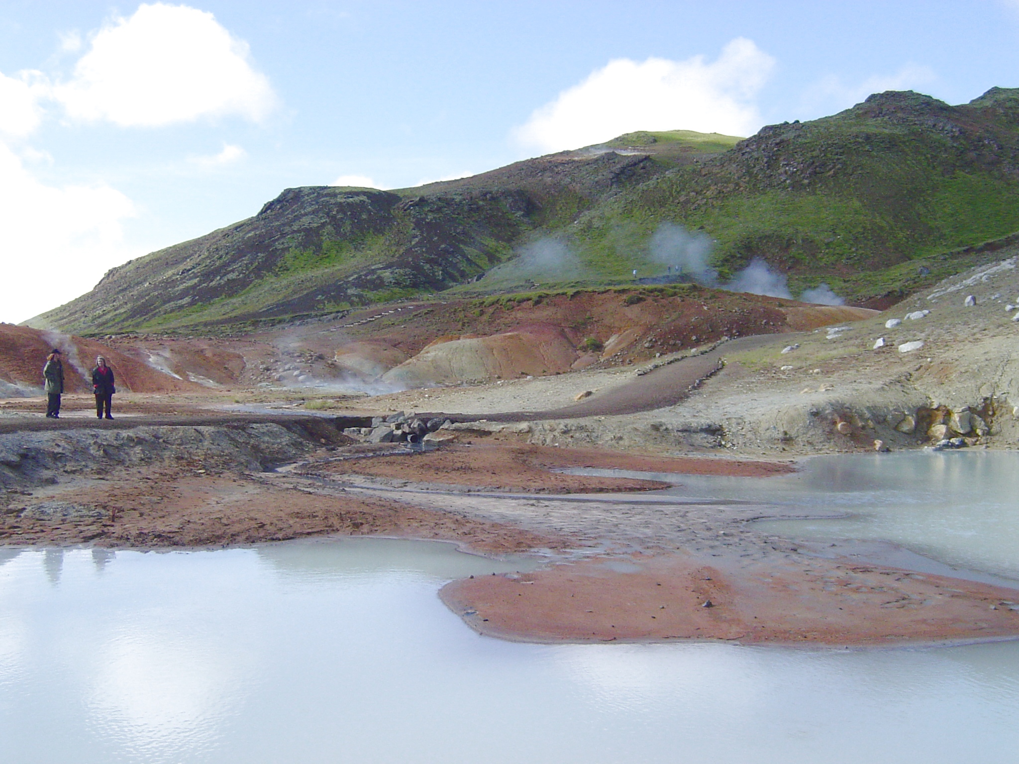
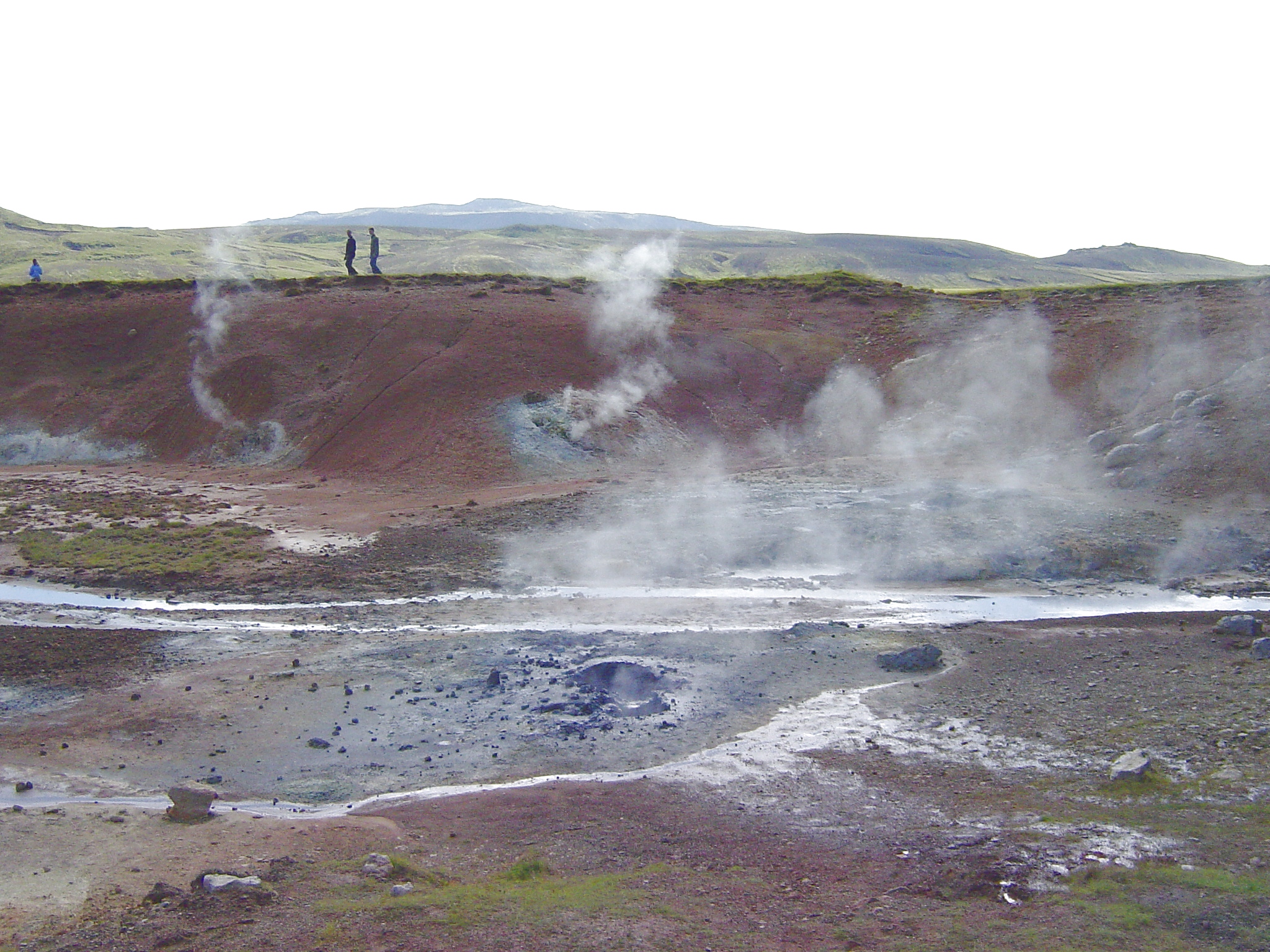
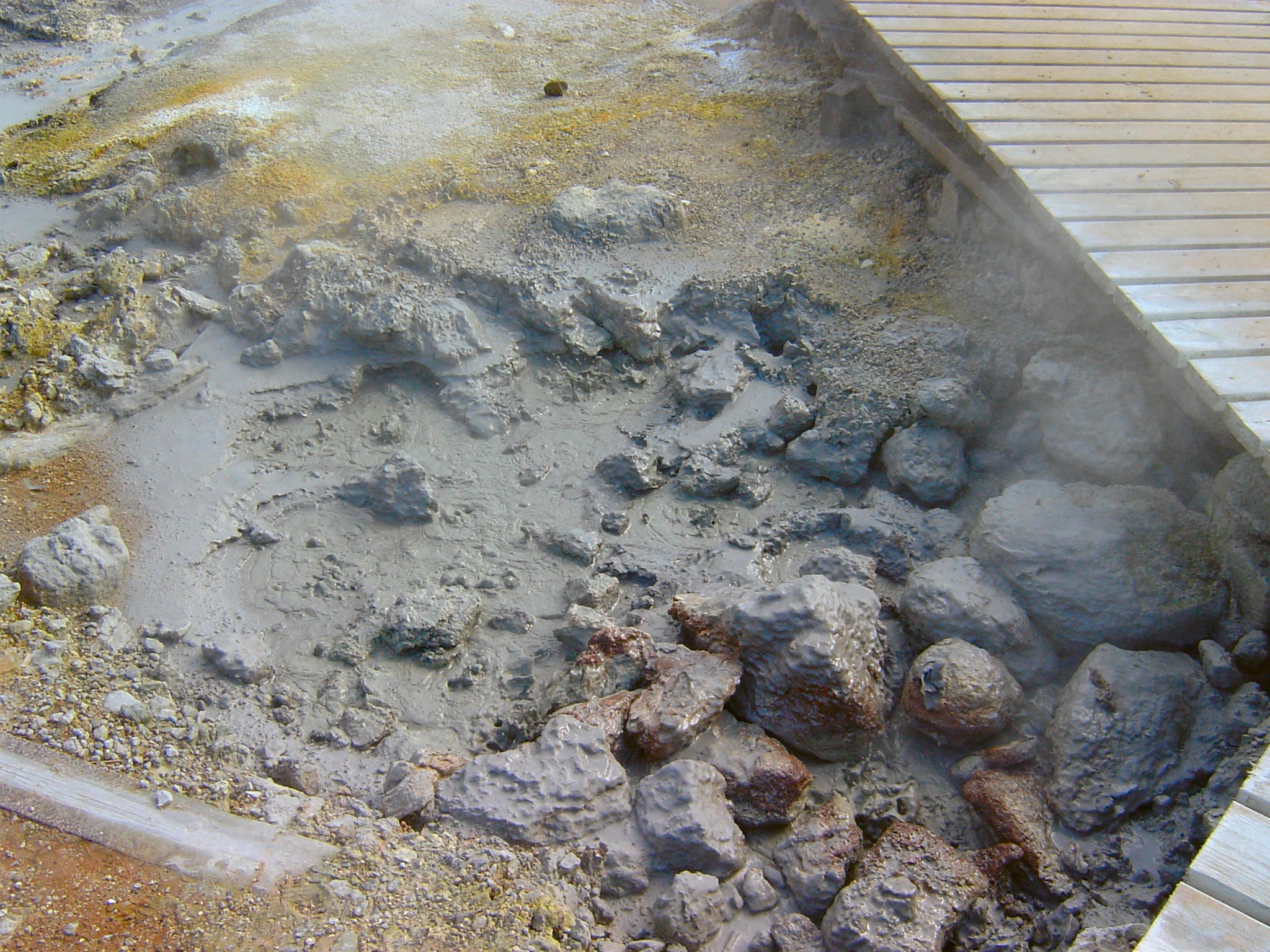
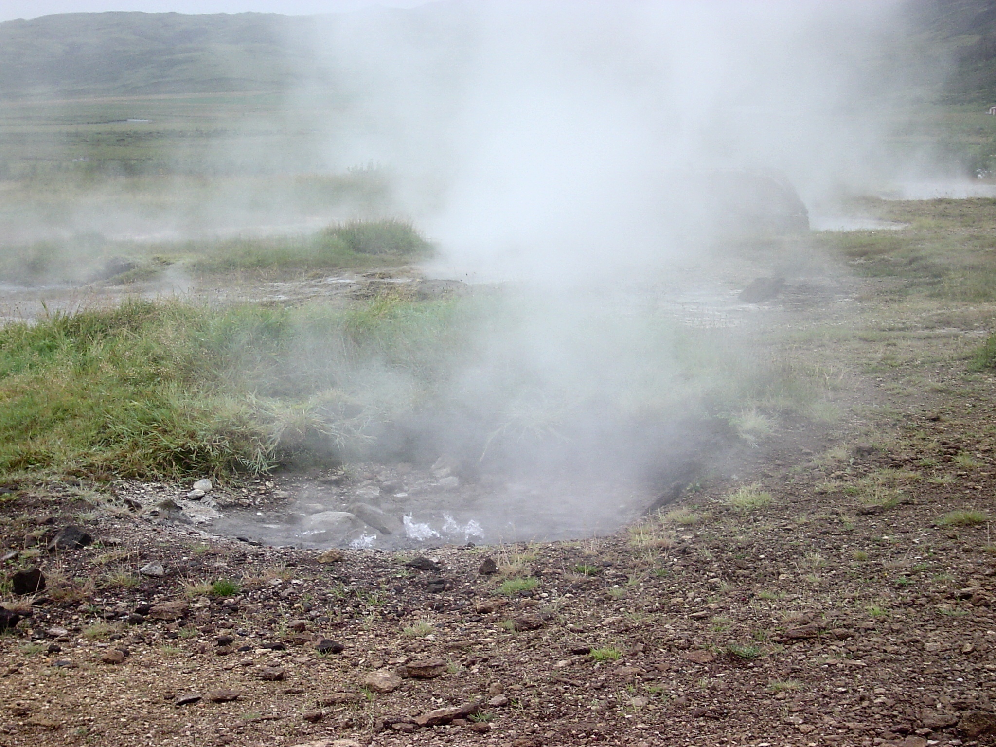
boiling mud spring near Krýsuvík
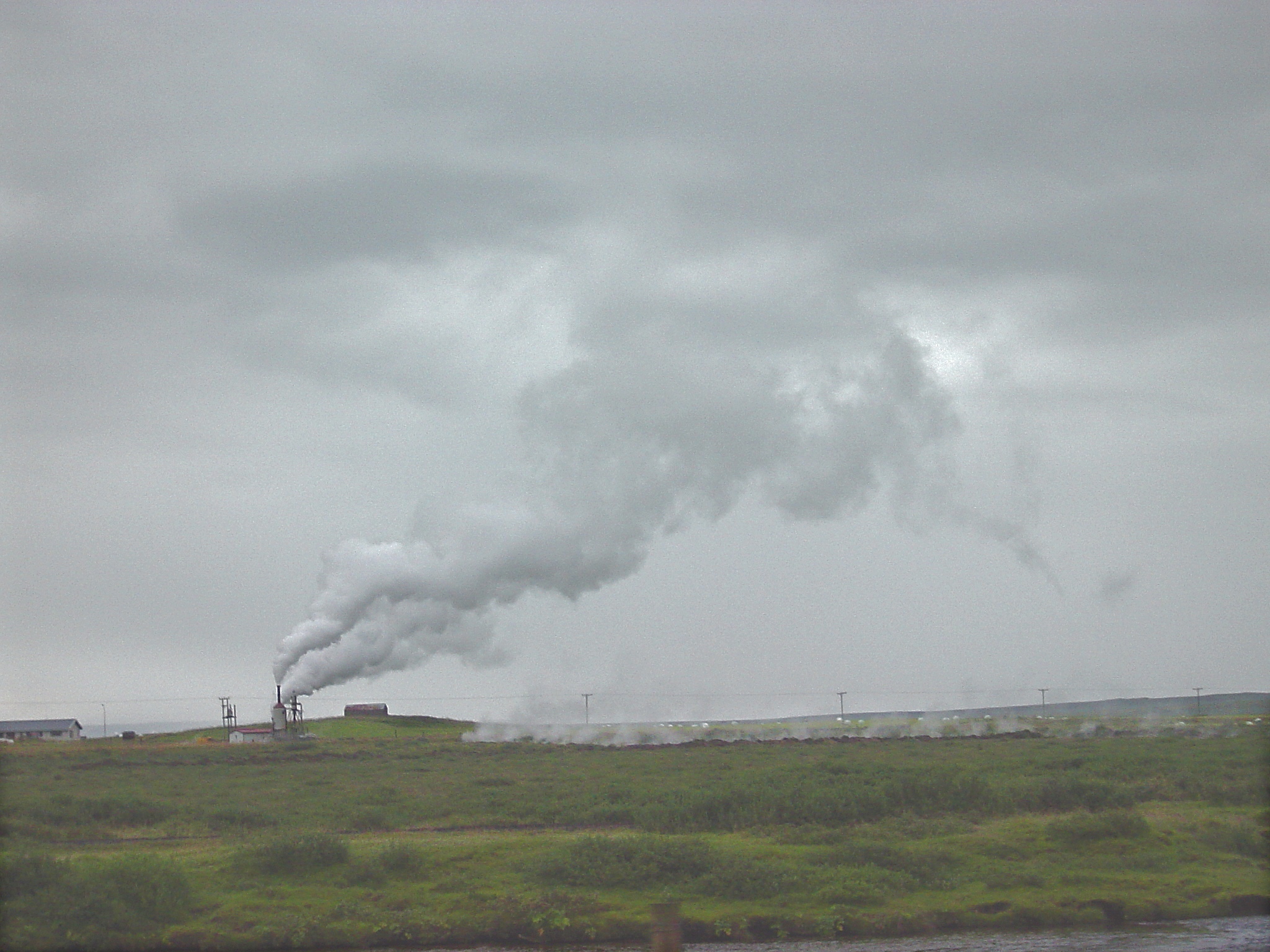
geothermal well at farm near Hveragerði
geothermal well at farm(?) in Haukadalur
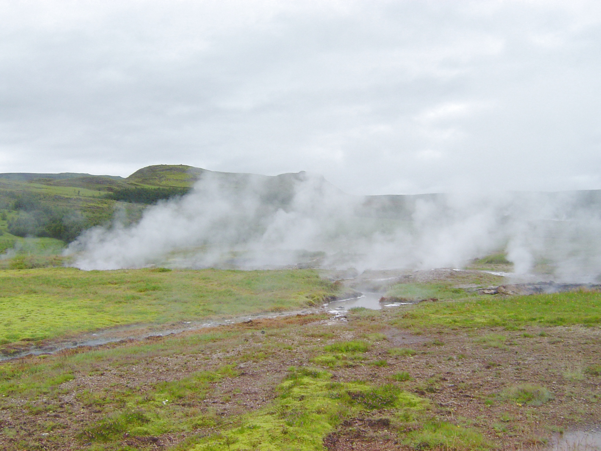
Geysir geothermal field
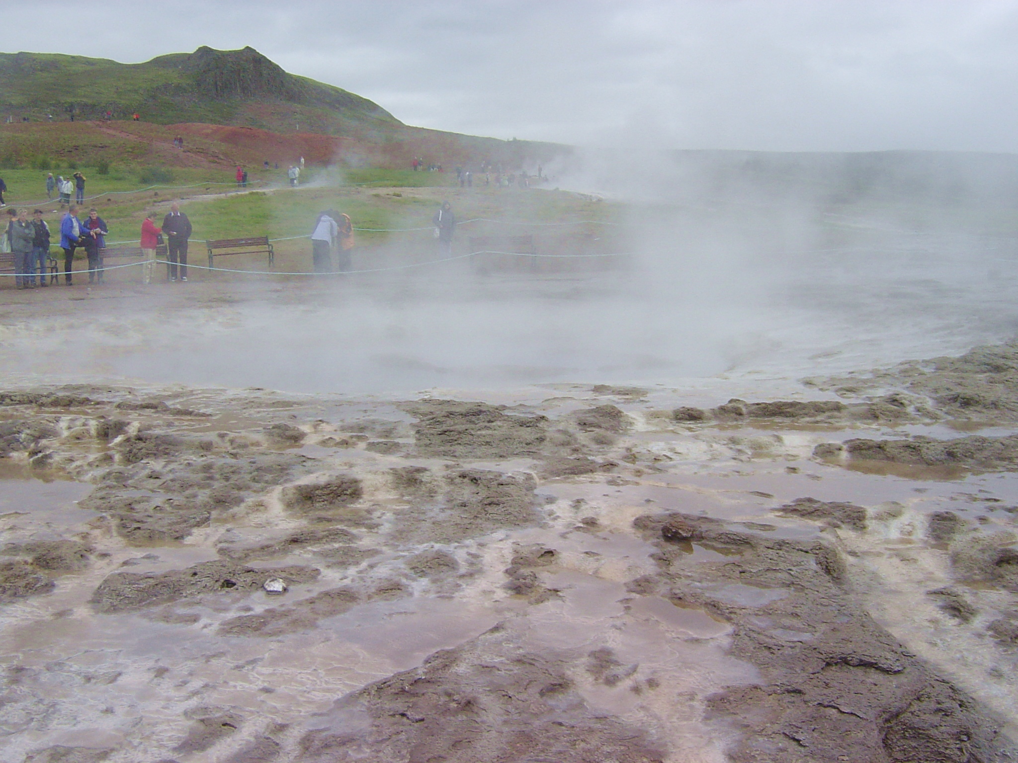
detail of travertine terraces at Strokkur
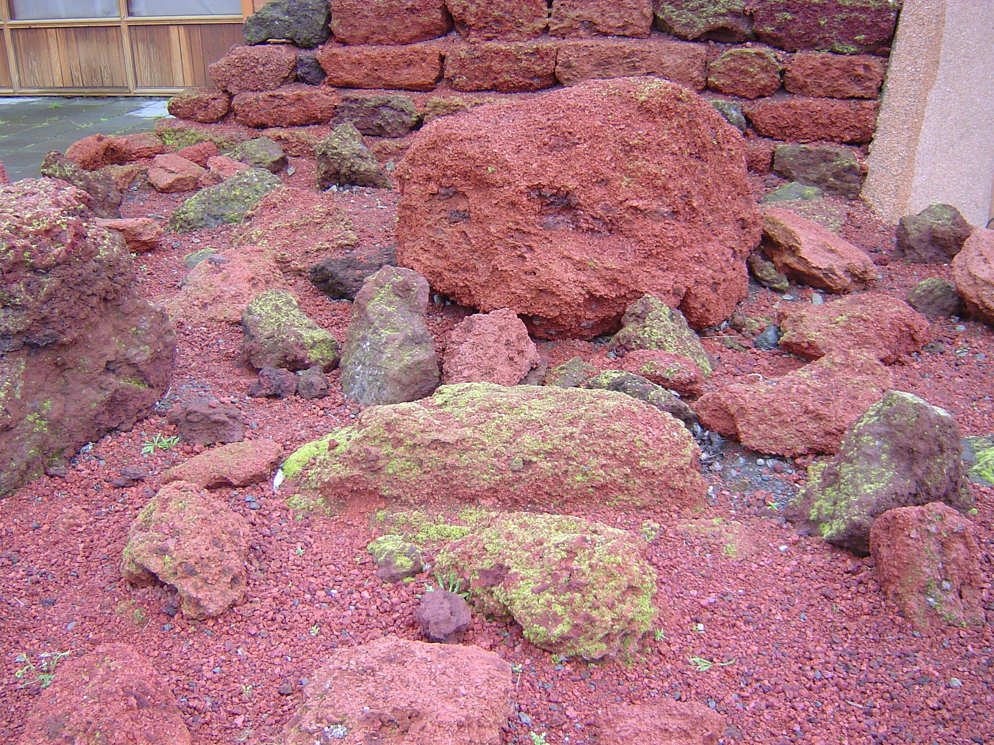
rocks discolored by hydrothermal alteration
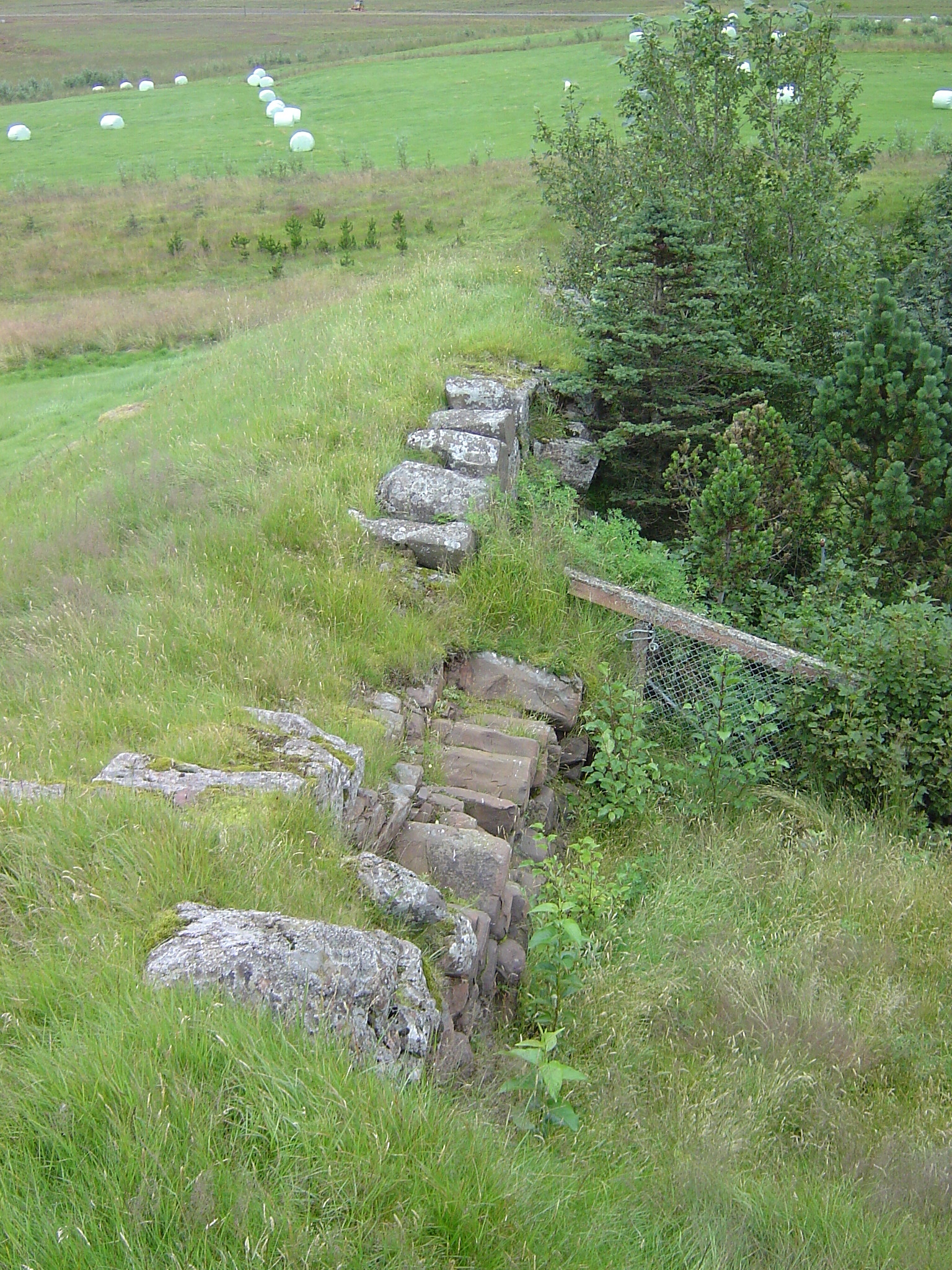
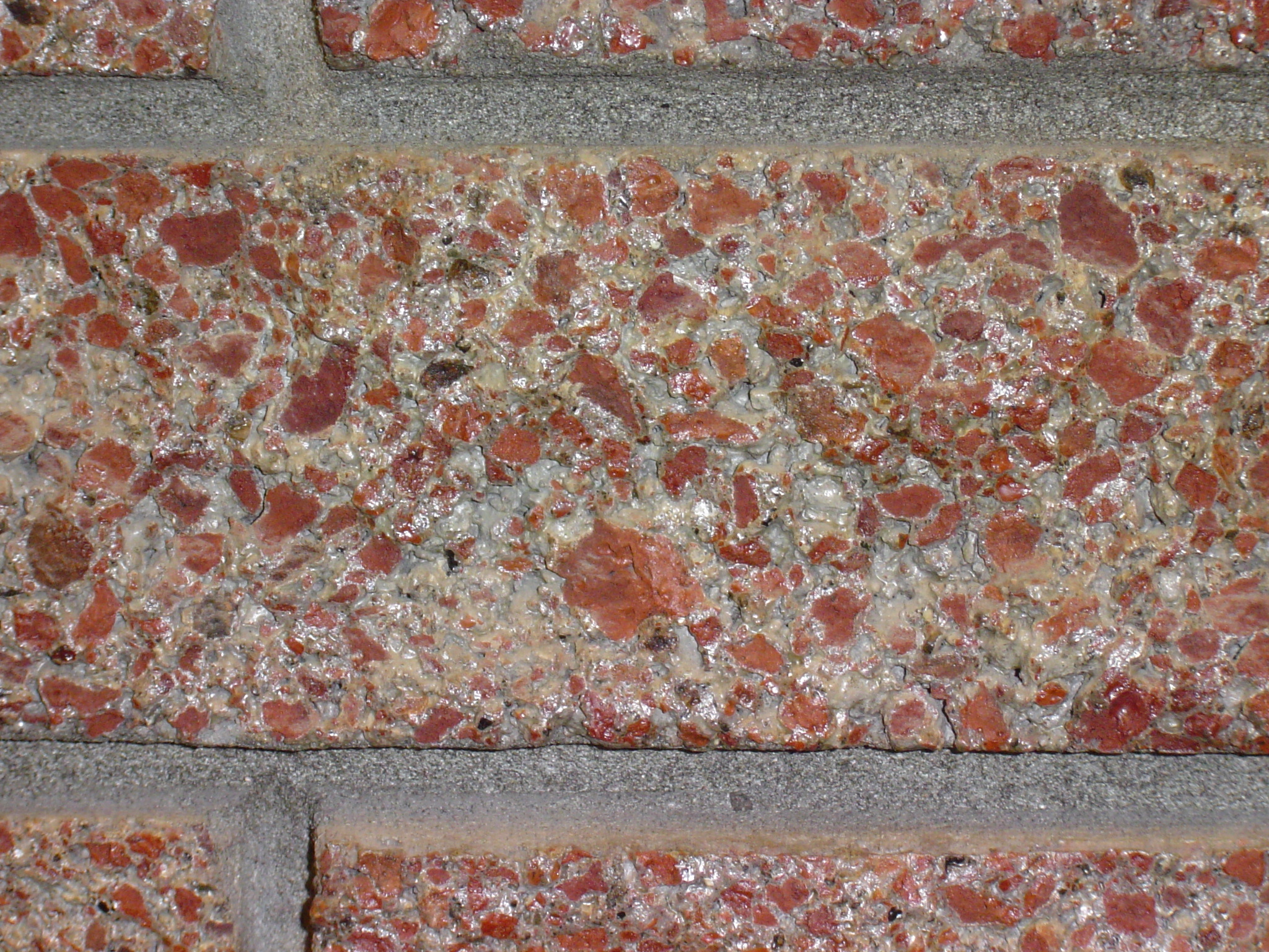
Unusual building materials
turf walls (from inside) at Þjoðveldisbær
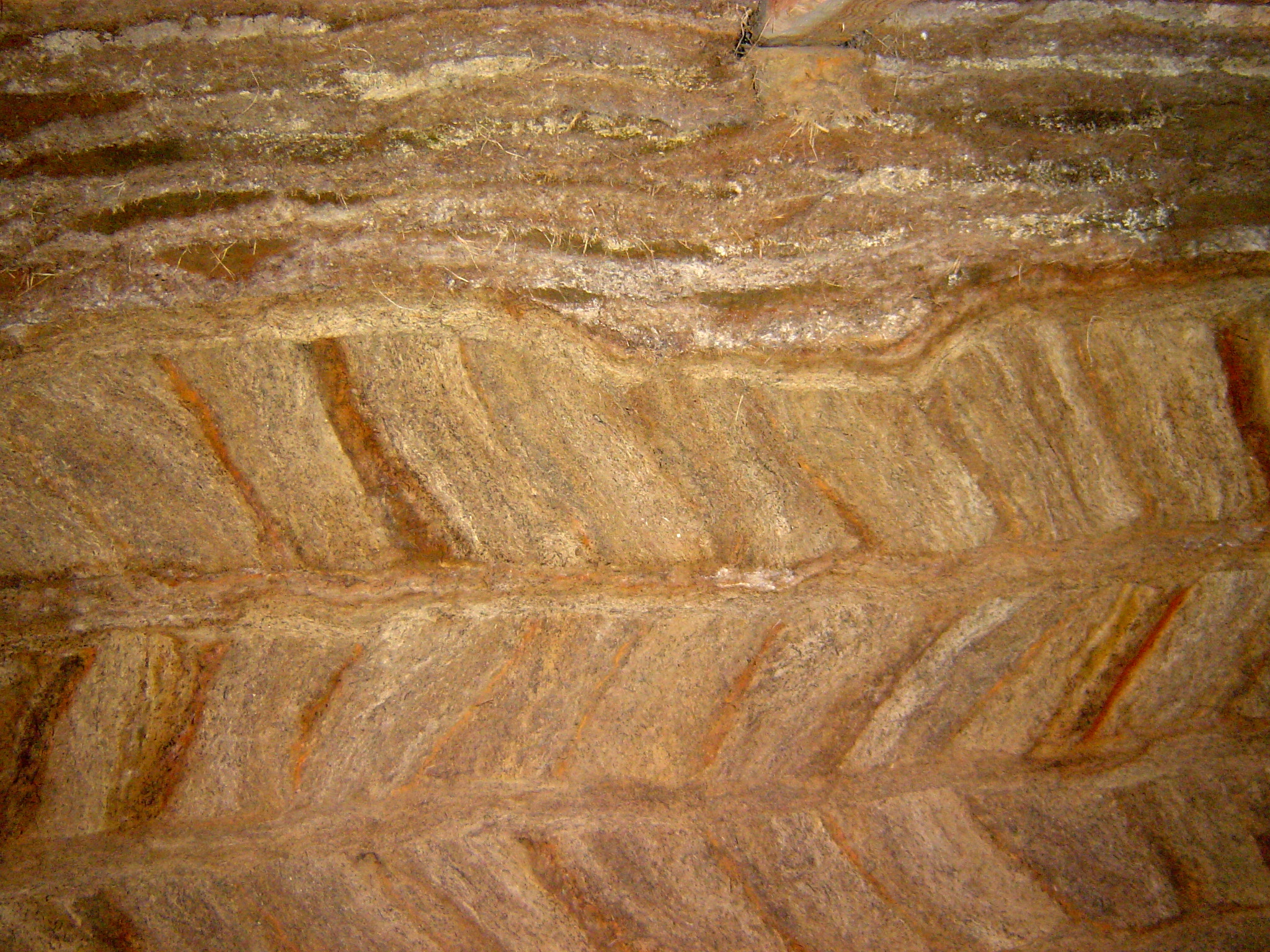
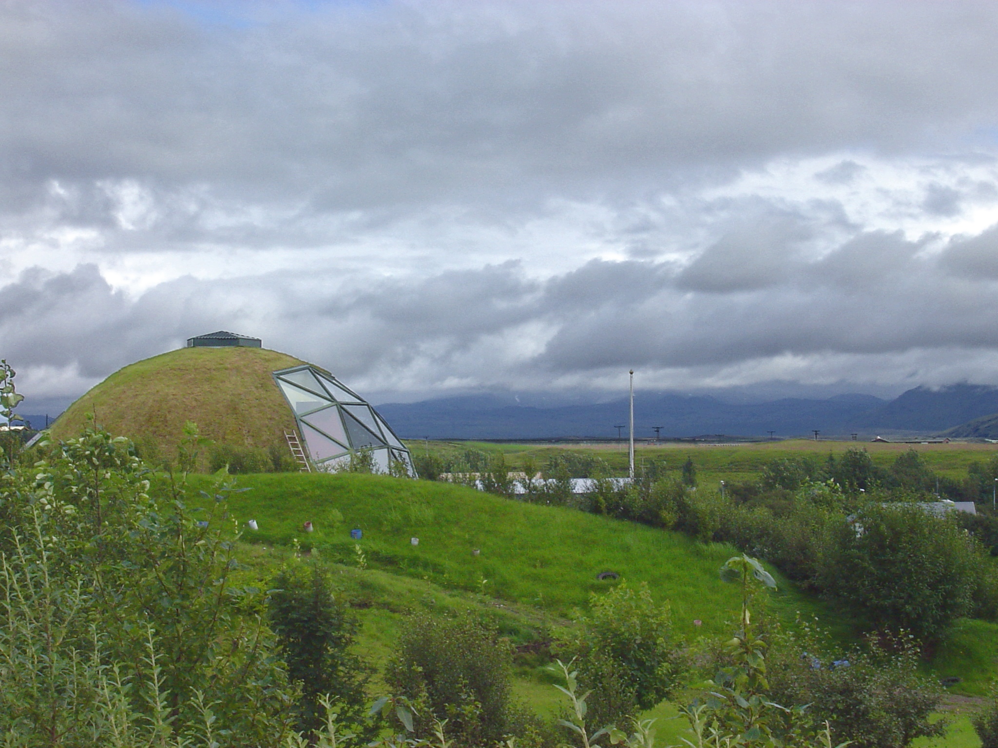
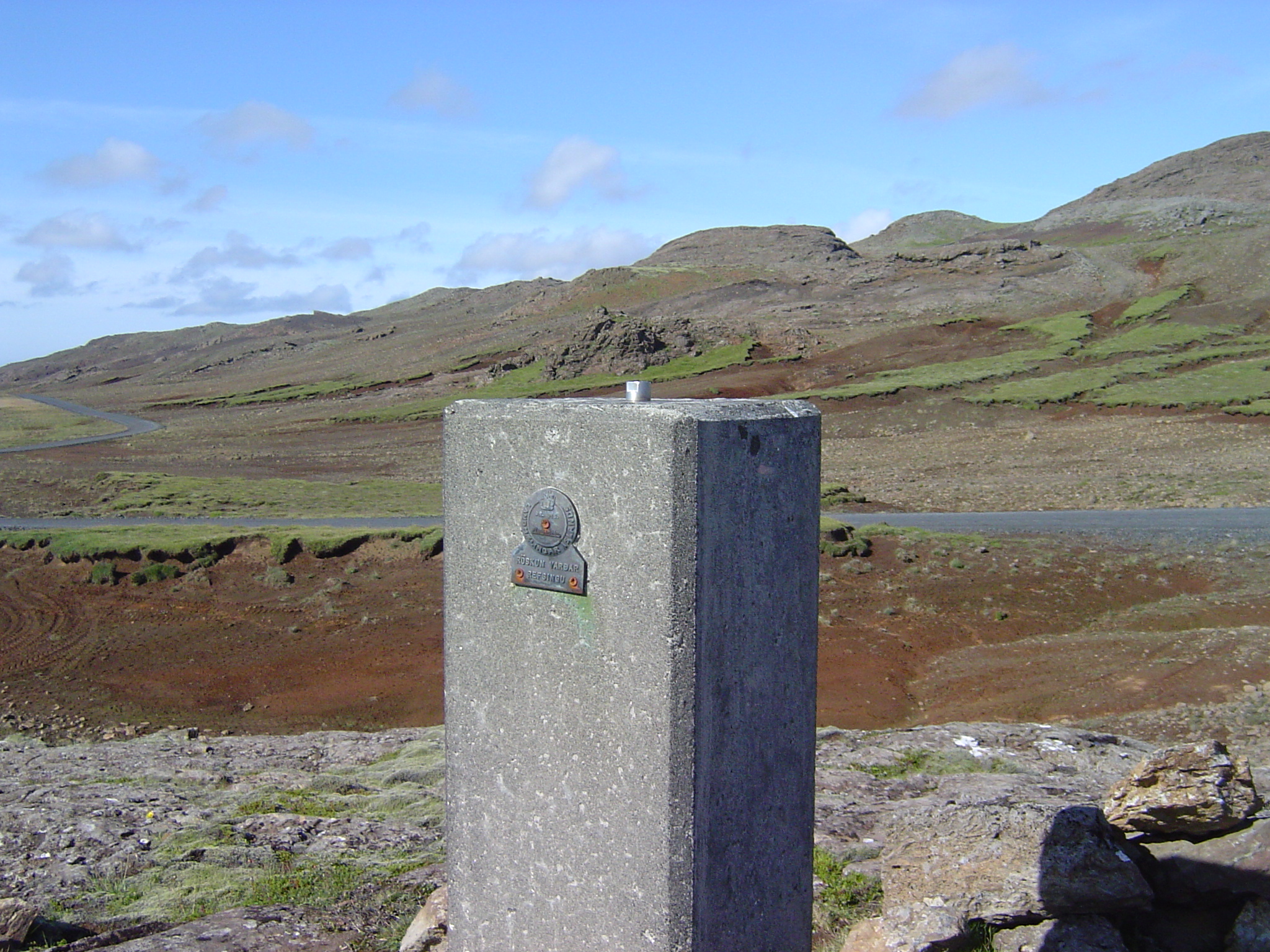
Geodesy
Disclaimer: The geologic captions for the pictures on this page include a lot of educated guesses. Anyone who thinks, or knows, that I misinterpreted what I saw is encouraged to e-mail me with a correction. P. Bird, 2003.09.15.