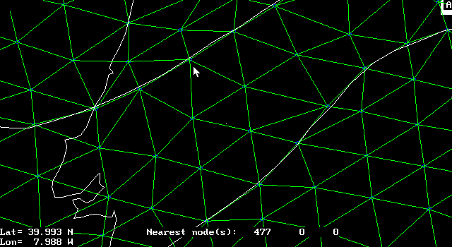
Change the basemap file to the .dig file with fault traces in (longitude, latitude) format. Then, zoom in really close and adjust node positions so that a series of element boundaries follows the trace of each fault.