![]()
![]()
![]()
![]()
![]()
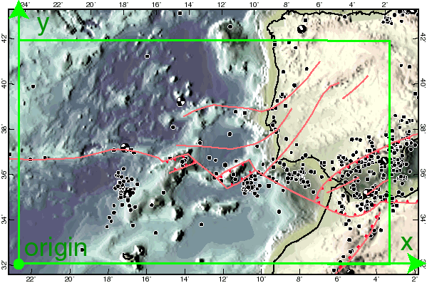
Draft a rectangle about the area you want to model, and choose two sides to become the x and y axes of a Cartesian system. (These have no relationship to the parallels and meridians already on the map.) The +y axis must be 90 degrees counterclockwise from the +x axis. Distances along each axis must be real distances on the Earth (not distances on the paper map); for example, in this case the x axis is about 1.82E+06 m long, and the y axis is about 1.10E+06 m long.